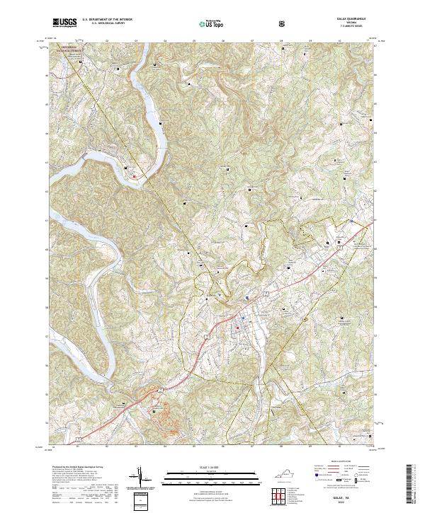
2022 Map of Galax
USGS Topo · Published 2022About this map
The settlement of Fries sits along a prominent bend of the New River, where the landscape transitions into the wooded slopes of the Jefferson National Forest. This 2022 survey documents the modern road network and geographic features of this portion of Carroll County, tracing the way older routes once followed the contours of the river valley. Numerous family-named cemeteries and rural churches dot the surrounding hillsides, reflecting generations of local history and community structure within the Appalachian terrain. The map provides a current look at the area's rural character, emphasizing the persistent relationship between the winding river and the small communities that developed along its banks.
Find a feature on this map
1 named feature on this map. Tap any name to fly to it.
Don’t see what you’re looking for? This feature index may not catch every label — zoom into the map to look around manually.
Map Details
Editions of this 2022 Galax Map
This is the sole edition of this map. No revisions or reprints were ever made.
Other maps of this area

1889 · Hillsville
USGS Topo · 1:125,000

1889 · Wytheville
USGS Topo · 1:125,000

1892 · Hillsville
USGS Topo · 1:125,000

1892 · Wytheville
USGS Topo · 1:125,000

1896 · Hillsville
USGS Topo · 1:125,000

1930 · Speedwell
USGS Topo · 1:62,500

1930 · Independence
USGS Topo · 1:48,000

1930 · Max Meadows
USGS Topo · 1:62,500

1931 · Galax
USGS Topo · 1:48,000

1933 · Independence
USGS Topo · 1:62,500