2022 Map of Galen
USGS Topo · Published 2022About this map
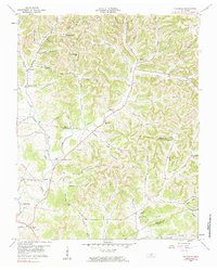
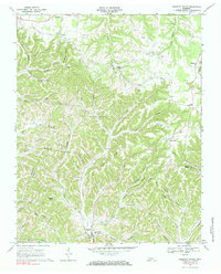
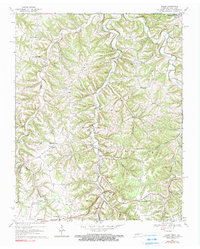
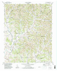
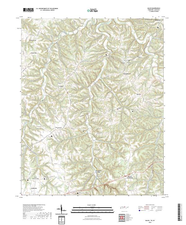
The branching headwaters of White Oak Cr and Salt Lick Creek define the landscape of northern Macon County in this recent survey. This area is characterized by a high density of small rural settlements and crossroads, including Galen, Pumpkintown, and Bugtussle near the Kentucky state line. The map is a significant resource for genealogists, as it meticulously identifies numerous family-named burial grounds like the John Brandon Cem, Elias McDonald Cem, and Poney McDonald Cem. These sites, alongside landmarks like Enon Ch, suggest a long-standing pattern of family-centered land ownership and community clusters that persist across generations. The terrain is marked by distinct hollows such as Ellis Hollow and Grisham Hollow, which shaped the placement of local roads like Galen Rd and Frog Pond Cemetery Rd as they follow the natural contours of the Tennessee hills.
Find a feature on this map
126 named features on this map. Tap any name to fly to it.
Don’t see what you’re looking for? This feature index may not catch every label — zoom into the map to look around manually.
Map Details
Editions of this 2022 Galen Map
This is the sole edition of this map. No revisions or reprints were ever made.
Historical Maps of Pumpkintown Through Time
7 maps found