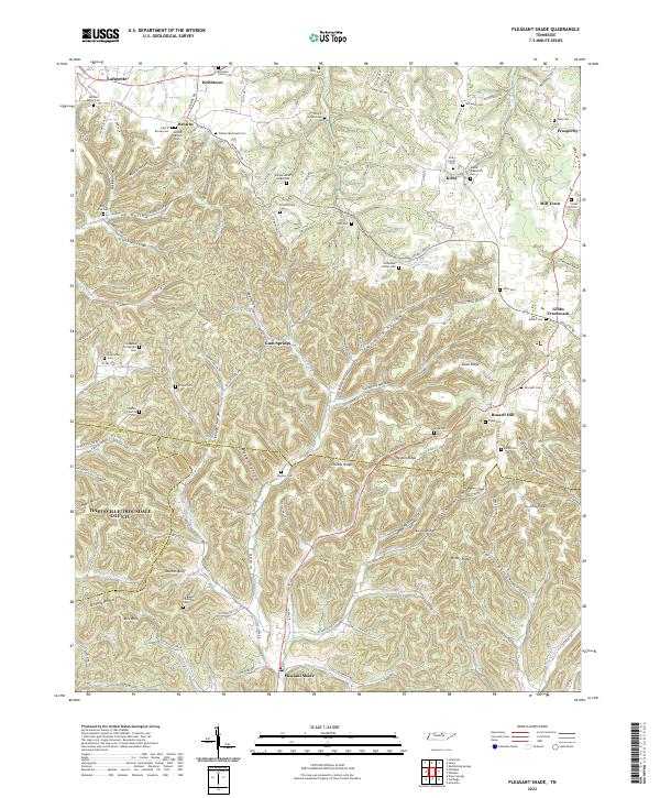
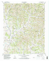
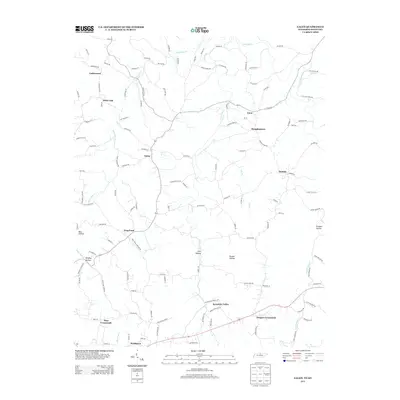
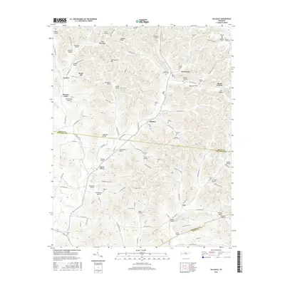
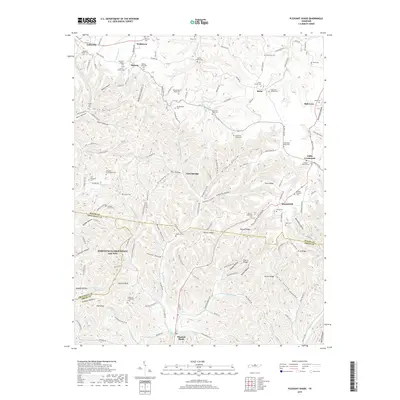
2022 Map of Pleasant Shade
USGS Topo · Published 2022About this map
The hills and hollows of central Tennessee define this landscape at the junction of Macon, Smith, and Trousdale counties. Pleasant Shade serves as a southern anchor, while the northern reaches transition into the rural communities of Webbtown and Lafayette. The terrain is characterized by a dense network of ridges and drainage basins, including Thomas Ridge and Hesson Ridge, which separate deep hollows such as Wildcat Hollow and California Hollow.
Find a feature on this map
91 named features on this map. Tap any name to fly to it.
Don’t see what you’re looking for? This feature index may not catch every label — zoom into the map to look around manually.
Map Details
Editions of this 2022 Pleasant Shade Map
This is the sole edition of this map. No revisions or reprints were ever made.
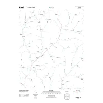
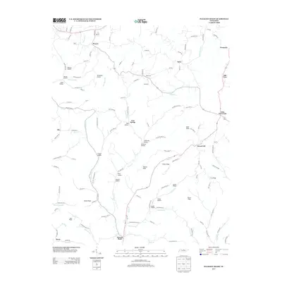
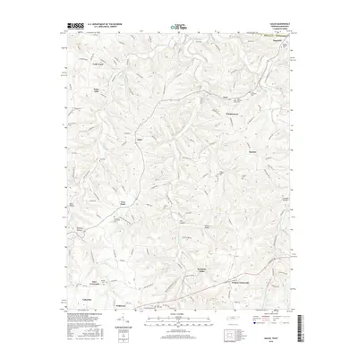
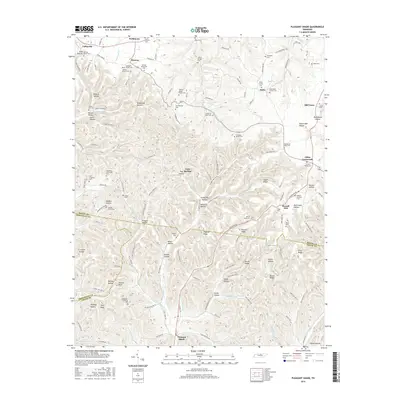
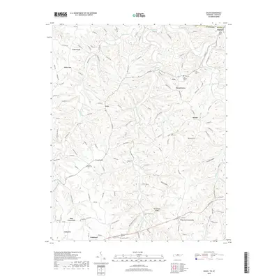
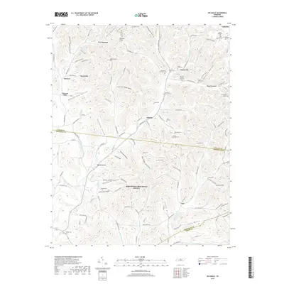
Historical Maps of Lafayette Through Time
19 maps found
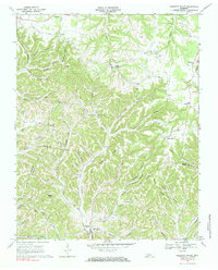
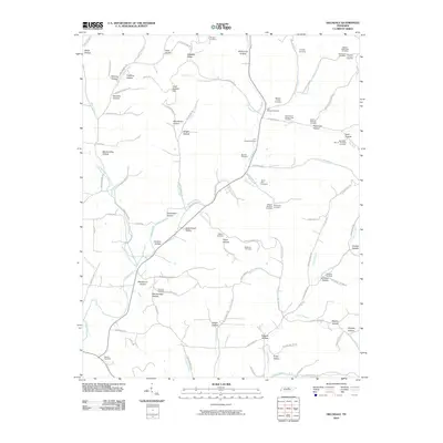
1959 Hillsdale
Macon County, TN
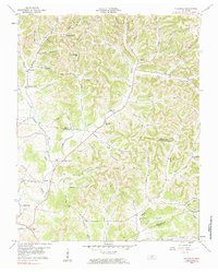
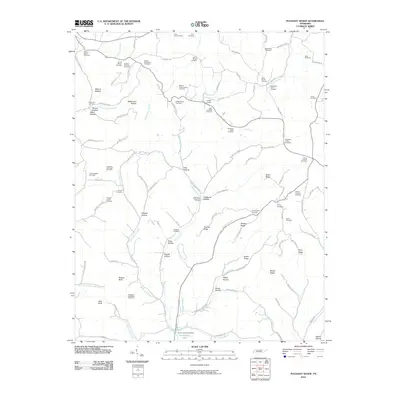
1968 Pleasant Shade
Macon County, TN
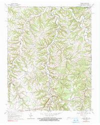
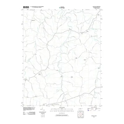
1969 Galen
Macon County, TN
1994 Hillsdale
Macon County, TN
2010 Galen
Macon County, TN
2010 Hillsdale
Macon County, TN
2010 Pleasant Shade
Macon County, TN
2013 Galen
Macon County, TN
2013 Hillsdale
Macon County, TN
2013 Pleasant Shade
Macon County, TN
2016 Galen
Macon County, TN
2016 Hillsdale
Macon County, TN
2016 Pleasant Shade
Macon County, TN
2019 Galen
Macon County, TN
2019 Hillsdale
Macon County, TN
2019 Pleasant Shade
Macon County, TN
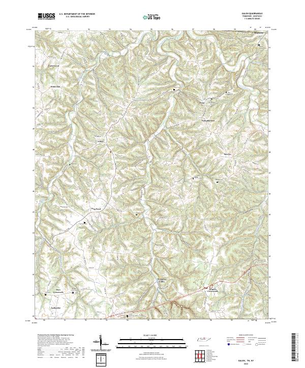
2022 Galen
Macon County, TN
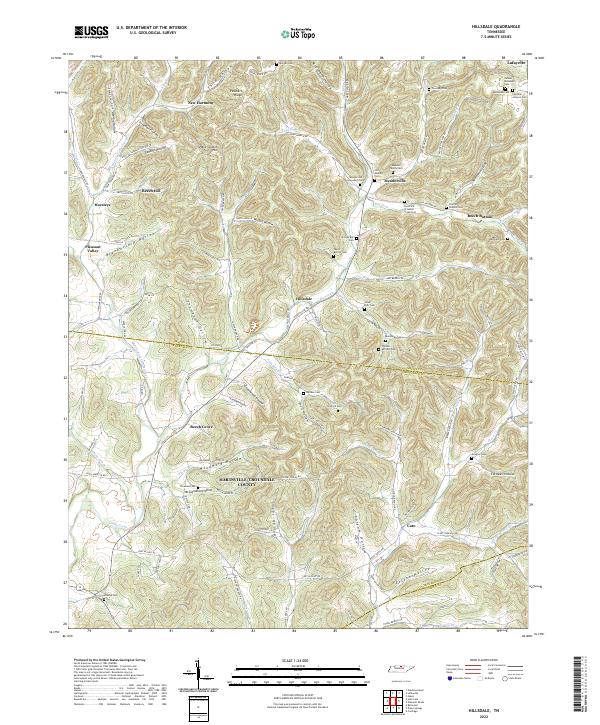
2022 Hillsdale
Macon County, TN
2022 Pleasant Shade
Macon County, TN