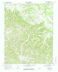
1968 Map of Pleasant Shade
USGS Topo · Published 1984About this map
Pleasant Shade serves as the focal point for this 1968 study of the hilly borderlands where Macon and Smith counties meet. The landscape is defined by an intricate network of hollows and ridges, such as Goad Ridge and Thomas Ridge, which dictated the early settlement patterns of the region. Small communities and crossroads like Webbtown, Gibbs Crossroads, and Mill Town are scattered throughout the drainage basins of Peyton Creek and Long Fork.
Find a feature on this map
61 named features on this map. Tap any name to fly to it.
Don’t see what you’re looking for? This feature index may not catch every label — zoom into the map to look around manually.
Map Details
Editions of this 1968 Pleasant Shade Map
2 editions found
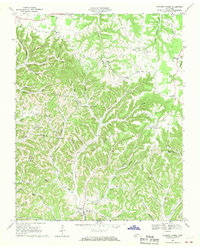
Other maps of this area

1931 · Lafayette
USGS Topo · 1:62,500

1931 · Red Boiling Springs
USGS Topo · 1:62,500

1932 · Carthage
USGS Topo · 1:62,500

1956 · Corbin
USGS Topo · 1:250,000

1956 · Nashville
USGS Topo · 1:250,000

1958 · Corbin
USGS Topo · 1:250,000

1958 · Dixon Springs
USGS Topo · 1:24,000
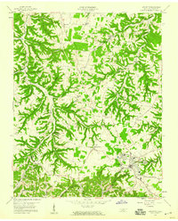
1958 · Lafayette
USGS Topo · 1:24,000

1959 · Nashville
USGS Topo · 1:250,000
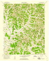
1959 · Hillsdale
USGS Topo · 1:24,000