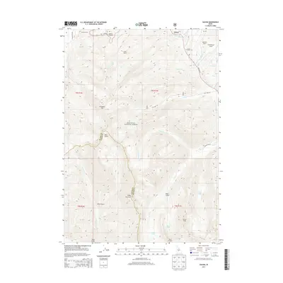
2013 Map of Galena
USGS Topo · Published 2013About this map
Galena sits at the northern edge of this high-elevation terrain, where State Hwy 75 climbs toward the Galena Summit. This 2013 survey captures the headwaters of the Big Wood River as it carves through the Sawtooth National Forest. The geography is defined by steep drainages like Enid Gulch and Miner Canyon, which separate prominent summits such as Bromaghin Peak and Norton Peak.
Find a feature on this map
41 named features on this map. Tap any name to fly to it.
Don’t see what you’re looking for? This feature index may not catch every label — zoom into the map to look around manually.
Map Details
Editions of this 2013 Galena Map
This is the sole edition of this map. No revisions or reprints were ever made.
Other maps of this area

1900 · Sawtooth
USGS Topo · 1:125,000

1955 · Hailey
USGS Topo · 1:250,000

1959 · Hailey
USGS Topo · 1:250,000

1962 · Hailey
USGS Topo · 1:250,000

1963 · Alturas Lake
USGS Topo · 1:24,000

1964 · Frenchman Creek
USGS Topo · 1:24,000
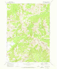
1970 · Horton Peak
USGS Topo · 1:24,000

1970 · Paradise Peak
USGS Topo · 1:24,000
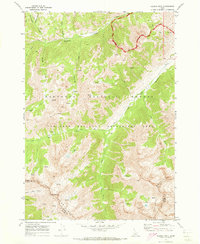
1970 · Galena Peak
USGS Topo · 1:24,000
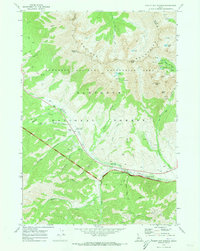
1970 · Easley Hot Springs
USGS Topo · 1:24,000