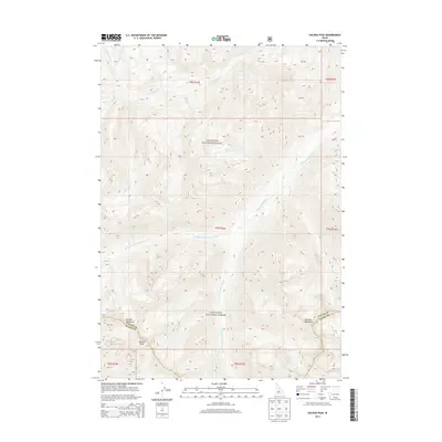
2013 Map of Galena Peak
USGS Topo · Published 2013About this map
Galena Peak serves as a prominent landmark at the southern edge of this high-elevation terrain, where the boundary between Custer and Blaine counties crosses the high ridges. This portion of the Sawtooth National Forest is defined by the headwaters of the Salmon River system, with the E Fork Salmon River and its major tributaries, including the W Fork E Fork Salmon River and the S Fork E Fork Salmon River, carving through the Boulder Mountains. The drainage patterns, from Germania Cr in the north to Senate Cr in the south, illustrate the complex hydrology of the region. This 2013 survey records the intricate topography and creek systems like Washington Lake Cr and Ibex Cr before more recent landscape shifts, providing an essential reference for land management and backcountry navigation in this protected wilderness area.
Find a feature on this map
23 named features on this map. Tap any name to fly to it.
Don’t see what you’re looking for? This feature index may not catch every label — zoom into the map to look around manually.
Map Details
Editions of this 2013 Galena Peak Map
This is the sole edition of this map. No revisions or reprints were ever made.
Other maps of this area

1895 · Hailey
USGS Topo · 1:125,000

1897 · Hailey
USGS Topo · 1:125,000

1900 · Sawtooth
USGS Topo · 1:125,000

1919 · Custer
USGS Topo · 1:125,000

1922 · Custer
USGS Topo · 1:125,000

1929 · Bayhorse
USGS Topo · 1:125,000

1955 · Hailey
USGS Topo · 1:250,000

1957 · Challis
USGS Topo · 1:250,000

1959 · Hailey
USGS Topo · 1:250,000

1960 · Challis
USGS Topo · 1:250,000