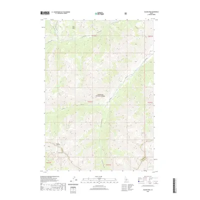
2020 Map of Galena Peak
USGS Topo · Published 2020About this map
Galena Peak dominates the southern reaches of this high-altitude landscape, situated along the jagged boundary between Custer and Blaine counties. This portion of the Sawtooth National Forest is defined by its complex drainage systems, where the E Fork Salmon River and its various tributaries, including the S Fork E Fork Salmon River, begin their descent through the mountains. The presence of the Grand Prize road suggests the historical routes used to navigate these steep grades, connecting the isolated river valleys with higher elevation features like the White Cloud Peaks and the Boulder Mountains. The terrain detail captured by the U.S. Geological Survey reveals the sharp ridges and deep basins that characterize the Livingston Mill-Castle Divide, providing a clear view of the hydrological patterns of Washington Creek and Germania Creek during the early twenty-first century.
Find a feature on this map
27 named features on this map. Tap any name to fly to it.
Don’t see what you’re looking for? This feature index may not catch every label — zoom into the map to look around manually.
Map Details
Editions of this 2020 Galena Peak Map
This is the sole edition of this map. No revisions or reprints were ever made.
Other maps of this area

1895 · Hailey
USGS Topo · 1:125,000

1897 · Hailey
USGS Topo · 1:125,000

1900 · Sawtooth
USGS Topo · 1:125,000

1919 · Custer
USGS Topo · 1:125,000

1922 · Custer
USGS Topo · 1:125,000

1929 · Bayhorse
USGS Topo · 1:125,000

1955 · Hailey
USGS Topo · 1:250,000

1957 · Challis
USGS Topo · 1:250,000

1959 · Hailey
USGS Topo · 1:250,000

1960 · Challis
USGS Topo · 1:250,000