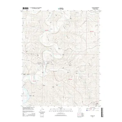
2015 Map of Galena
USGS Topo · Published 2015About this map
The James River meanders through a landscape defined by deep hollows and high ridges south of the Oto Ridge area. Near the sharp river curve at McCord Bend, the settlement of Galena serves as a focal point, while Reeds Spring and the smaller locality of Carico occupy the southeastern reaches. The terrain is marked by numerous family-named and descriptive landmarks, such as Butler Bluffs and Pratt Hollow, reflecting a long history of local land use.
Find a feature on this map
97 named features on this map. Tap any name to fly to it.
Don’t see what you’re looking for? This feature index may not catch every label — zoom into the map to look around manually.
Map Details
Editions of this 2015 Galena Map
This is the sole edition of this map. No revisions or reprints were ever made.
Other maps of this area

1907 · Forsyth
USGS Topo · 1:125,000

1927 · Shell Knob
USGS Topo · 1:62,500

1942 · Aurora
USGS Topo · 1:62,500

1945 · Harrison
USGS Topo · 1:250,000

1945 · Aurora
USGS Topo · 1:62,500

1949 · Harrison
USGS Topo · 1:250,000

1950 · Shell Knob
USGS Topo · 1:62,500

1950 · Garber
USGS Topo · 1:24,000

1954 · Harrison
USGS Topo · 1:250,000
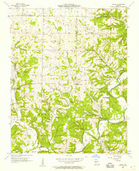
1955 · Hurley
USGS Topo · 1:24,000