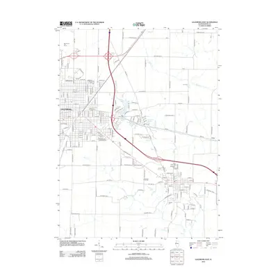
2012 Map of Galesburg East
USGS Topo · Published 2012About this map
Galesburg serves as the primary urban anchor on this 2012 survey, with the historic Knox College campus situated near the city center. The landscape transitions from the dense street grids of the city to a mosaic of agricultural tracts and water features like Rice Lake and Purington Lakes. A significant genealogical record is preserved through the numerous burial grounds documented across the terrain, including Saint Marys Cem and the Alm's House Cem. The drainage patterns are defined by the winding paths of Haw Cr and Middle Cr, which cut through the Knox County prairie. Toward the eastern edge, the small settlement of Knox and several family-named landmarks like the Butterfield Family Cem highlight the rural development that exists alongside major transportation corridors like Veterans Dr and various Knox County highways.
Find a feature on this map
162 named features on this map. Tap any name to fly to it.
Don’t see what you’re looking for? This feature index may not catch every label — zoom into the map to look around manually.
Map Details
Editions of this 2012 Galesburg East Map
This is the sole edition of this map. No revisions or reprints were ever made.
Other maps of this area

1925 · Galesburg
USGS Topo · 1:62,500

1927 · Galesburg
USGS Topo · 1:62,500

1931 · Galva
USGS Topo · 1:48,000

1940 · Galva
USGS Topo · 1:62,500

1941 · Maquon
USGS Topo · 1:62,500

1943 · Maquon
USGS Topo · 1:62,500

1944 · Galva
USGS Topo · 1:62,500

1947 · Woodhull
USGS Topo · 1:62,500

1958 · Burlington
USGS Topo · 1:250,000

1958 · Davenport
USGS Topo · 1:250,000