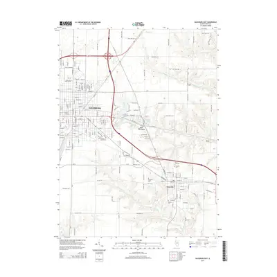
2015 Map of Galesburg East
USGS Topo · Published 2015About this map
Galesburg and its surrounding prairie landscape are defined here by a dense grid of residential streets and essential local institutions. The campus of Knox Coll anchors the southern portion of the city, while the eastern expansion includes East Galesburg and the historic community of Knoxville. Water features such as Rice Lake, Glenwood Lake, and the Purington Lakes interrupt the agricultural regularity of the countryside, providing a sense of the local drainage patterns formed by Middle Cr, Cedar Cr, and Haw Cr.
Find a feature on this map
86 named features on this map. Tap any name to fly to it.
Don’t see what you’re looking for? This feature index may not catch every label — zoom into the map to look around manually.
Map Details
Editions of this 2015 Galesburg East Map
This is the sole edition of this map. No revisions or reprints were ever made.
Other maps of this area

1925 · Galesburg
USGS Topo · 1:62,500

1927 · Galesburg
USGS Topo · 1:62,500

1931 · Galva
USGS Topo · 1:48,000

1940 · Galva
USGS Topo · 1:62,500

1941 · Maquon
USGS Topo · 1:62,500

1943 · Maquon
USGS Topo · 1:62,500

1944 · Galva
USGS Topo · 1:62,500

1947 · Woodhull
USGS Topo · 1:62,500

1958 · Burlington
USGS Topo · 1:250,000

1958 · Davenport
USGS Topo · 1:250,000