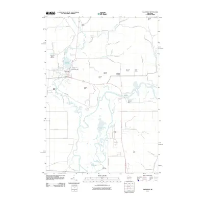
2010 Map of Galesville
USGS Topo · Published 2010About this map
The Black River winds through this Wisconsin landscape, creating a complex network of wetlands and oxbow lakes including Van Loon Lake and Goose Lake. The town of Galesville serves as the primary hub, situated near the shores of Marinuka Lake 138 and the historic Galesville Mill Dam. The surrounding terrain is defined by prominent elevations such as Decorah Peak, Queen Bluff, and King Bluff, which overlook the expansive Decorah Prairie.
Find a feature on this map
66 named features on this map. Tap any name to fly to it.
Don’t see what you’re looking for? This feature index may not catch every label — zoom into the map to look around manually.
Map Details
Editions of this 2010 Galesville Map
This is the sole edition of this map. No revisions or reprints were ever made.
Other maps of this area

1926 · North Bend
USGS Topo · 1:62,500

1927 · La Crosse
USGS Topo · 1:62,500

1929 · Galesville
USGS Topo · 1:62,500

1929 · North Bend
USGS Topo · 1:62,500

1930 · La Crescent
USGS Topo · 1:62,500

1930 · La Crosse
USGS Topo · 1:62,500

1953 · Eau Claire
USGS Topo · 1:250,000

1956 · La Crescent
USGS Topo · 1:62,500

1958 · Eau Claire
USGS Topo · 1:250,000

1958 · La Crosse
USGS Topo · 1:250,000