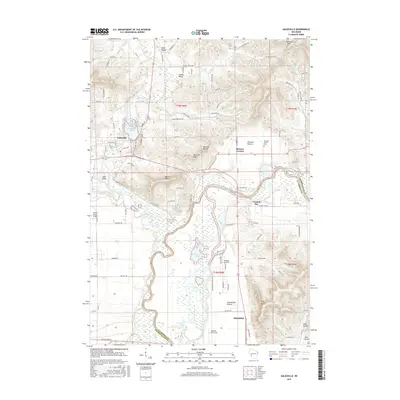
2015 Map of Galesville
USGS Topo · Published 2015About this map
Galesville anchors the northern portion of this landscape, situated near the shores of Marinuka Lake and the winding course of Beaver Creek. The topography is defined by the transition from upland ridges like Queen Bluff and King Bluff to the expansive wetlands of the Black River valley. To the south, the village of Holmen marks a center of modern development, while the surrounding rural areas retain distinct local identities in places like Amsterdam Prairie and Decorah Prairie.
Find a feature on this map
100 named features on this map. Tap any name to fly to it.
Don’t see what you’re looking for? This feature index may not catch every label — zoom into the map to look around manually.
Map Details
Editions of this 2015 Galesville Map
This is the sole edition of this map. No revisions or reprints were ever made.
Other maps of this area

1926 · North Bend
USGS Topo · 1:62,500

1927 · La Crosse
USGS Topo · 1:62,500

1929 · Galesville
USGS Topo · 1:62,500

1929 · North Bend
USGS Topo · 1:62,500

1930 · La Crescent
USGS Topo · 1:62,500

1930 · La Crosse
USGS Topo · 1:62,500

1953 · Eau Claire
USGS Topo · 1:250,000

1956 · La Crescent
USGS Topo · 1:62,500

1958 · Eau Claire
USGS Topo · 1:250,000

1958 · La Crosse
USGS Topo · 1:250,000