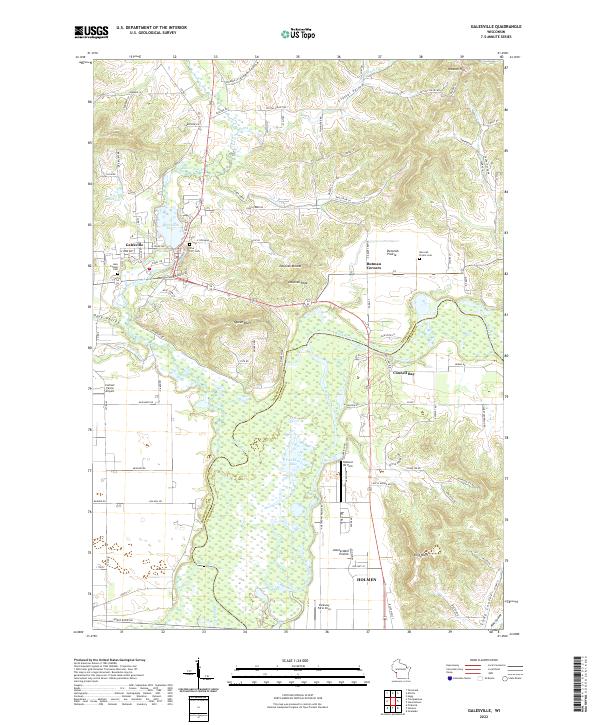
2022 Map of Galesville
USGS Topo · Published 2022About this map
The Black River winds through a complex wetland system in this modern survey of the border between Trempealeau and La Crosse counties. The landscape is defined by the contrast between the flat, marshy basins of Van Loon Lake and Goose Lake and the dramatic bluffs that rise sharply from the valley floor. Prominent elevations such as Queen Bluff, King Bluff, and Decorah Peak serve as significant local landmarks overlooking the floodplains.
Find a feature on this map
107 named features on this map. Tap any name to fly to it.
Don’t see what you’re looking for? This feature index may not catch every label — zoom into the map to look around manually.
Map Details
Editions of this 2022 Galesville Map
This is the sole edition of this map. No revisions or reprints were ever made.
Other maps of this area

1926 · North Bend
USGS Topo · 1:62,500

1927 · La Crosse
USGS Topo · 1:62,500

1929 · Galesville
USGS Topo · 1:62,500

1929 · North Bend
USGS Topo · 1:62,500

1930 · La Crescent
USGS Topo · 1:62,500

1930 · La Crosse
USGS Topo · 1:62,500

1953 · Eau Claire
USGS Topo · 1:250,000

1956 · La Crescent
USGS Topo · 1:62,500

1958 · Eau Claire
USGS Topo · 1:250,000

1958 · La Crosse
USGS Topo · 1:250,000