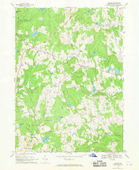
1967 Map of Galilee
USGS Topo · Published 1970About this map
Galilee and the surrounding townships of Lebanon, Damascus, and Oregon characterize this mid-century landscape in Wayne County. The area is defined by a dense network of small dairy-farming settlements and timbered uplands, including State Game Lands No 159. Distinctive religious landmarks like St Josephs Ch, Rileyville Ch, and Calkins Union Ch anchor the various crossroads communities. The terrain is marked by numerous glacial ponds and lakes, such as Duck Harbor Pond, Sky Lake, and Justin Lake, which feed the drainages of Beaverdam Creek and Calkins Creek. Researchers can find evidence of local infrastructure and early land management through features like the Gaging Sta near West Damascus and the winding paths of Siroland Road and Cutback Road.
Find a feature on this map
43 named features on this map. Tap any name to fly to it.
Don’t see what you’re looking for? This feature index may not catch every label — zoom into the map to look around manually.
Map Details
Editions of this 1967 Galilee Map
2 editions found
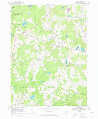
Other maps of this area

1892 · Honesdale
USGS Topo · 1:62,500

1920 · Long Eddy
USGS Topo · 1:62,500

1920 · Damascus
USGS Topo · 1:62,500

1921 · Long Eddy
USGS Topo · 1:48,000

1923 · Damascus
USGS Topo · 1:62,500

1923 · Long Eddy
USGS Topo · 1:62,500

1926 · Starrucca
USGS Topo · 1:62,500

1930 · Starrucca
USGS Topo · 1:48,000

1933 · Starrucca
USGS Topo · 1:62,500

1943 · Honesdale
USGS Topo · 1:125,000