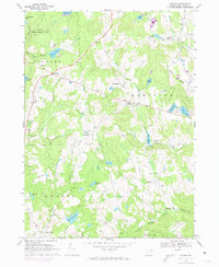
1967 Map of Galilee
USGS Topo · Published 1974About this map
Galilee and its surrounding hamlets define this high-plateau landscape of Wayne County during the mid-1960s. The settlement pattern is characterized by small, distinct communities like Rileyville, Rutledgedale, and Boyds Mills, many of which grew around country crossroads and local congregations such as Rileyville Ch and St Josephs Ch. The terrain is punctuated by numerous glacial water bodies, including Duck Harbor Pond and Sky Lake, which feed the drainages of Beaverdam Creek and Calkins Creek.
Find a feature on this map
44 named features on this map. Tap any name to fly to it.
Don’t see what you’re looking for? This feature index may not catch every label — zoom into the map to look around manually.
Map Details
Editions of this 1967 Galilee Map
2 editions found
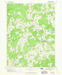
Other maps of this area

1892 · Honesdale
USGS Topo · 1:62,500

1920 · Long Eddy
USGS Topo · 1:62,500

1920 · Damascus
USGS Topo · 1:62,500

1921 · Long Eddy
USGS Topo · 1:48,000

1923 · Damascus
USGS Topo · 1:62,500

1923 · Long Eddy
USGS Topo · 1:62,500

1926 · Starrucca
USGS Topo · 1:62,500

1930 · Starrucca
USGS Topo · 1:48,000

1933 · Starrucca
USGS Topo · 1:62,500

1943 · Honesdale
USGS Topo · 1:125,000