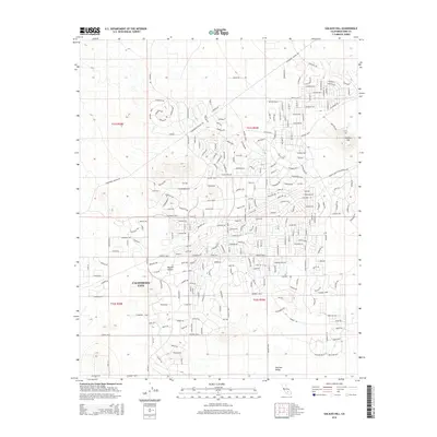
2015 Map of Galileo Hill
USGS Topo · Published 2015About this map
California City anchors this topographic study within the western Mojave Desert, revealing a residential grid sprawling across the arid landscape. The map captures the ambitious mid-century urban planning of the area, where vast networks of named streets like George Blvd and Gordon Blvd stretch into the desert, often ahead of dense construction. The prominent elevation of Galileo Hill stands as a focal point in the northeast, while the southern reaches descend into Peerless Valley. Historical transportation routes are evident in the path of the Randsburg Mojave Rd and the Twenty Mule Team Parkway Rd, the latter evoking the region's mining heritage. This 2015 survey provides a clear look at the intersection of planned infrastructure and the natural desert terrain, documenting the extent of development in Kern County.
Find a feature on this map
14 named features on this map. Tap any name to fly to it.
Don’t see what you’re looking for? This feature index may not catch every label — zoom into the map to look around manually.
Map Details
Editions of this 2015 Galileo Hill Map
This is the sole edition of this map. No revisions or reprints were ever made.
Other maps of this area

1903 · Randsburg
USGS Topo · 1:62,500

1911 · Randsburg
USGS Topo · 1:62,500

1912 · Randsburg
USGS Topo · 1:62,500

1915 · Searles Lake
USGS Topo · 1:250,000

1943 · Saltdale
USGS Topo · 1:62,500

1943 · Castle Butte
USGS Topo · 1:62,500

1947 · Castle Butte
USGS Topo · 1:50,000

1947 · Desert Butte
USGS Topo · 1:24,000
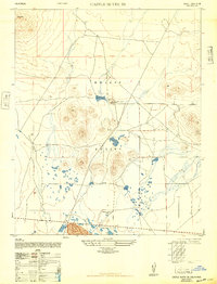
1947 · Castle Butte SE
USGS Topo · 1:24,000

1947 · Johannesburg SW
USGS Topo · 1:24,000