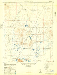
1947 Map of Castle Butte SE
USGS Topo · Published 1947About this map
The Mojave Desert terrain of eastern Kern County was undergoing significant military-related study in the late 1940s, as reflected in this sheet compiled by the Army Map Service. The landscape is dominated by the prominent volcanic profile of Castle Butte to the northwest, overlooking a vast network of intermittent lakes and dry lakebeds. Commercial activity is centered on the extraction of desert resources, evidenced by the presence of the Muroc Clay Co (Abandoned). While the area is largely arid, isolated features such as a Windmill and the Thundering Herd Ranch indicate small-scale pastoral and ranching efforts. Near the southern boundary, the settlement of North Muroc sits alongside established transportation routes, marking a point of transition between the open desert and the growing military infrastructure of the region during this post-war era.
Find a feature on this map
7 named features on this map. Tap any name to fly to it.
Don’t see what you’re looking for? This feature index may not catch every label — zoom into the map to look around manually.
Map Details
Editions of this 1947 Castle Butte SE Map
3 editions found
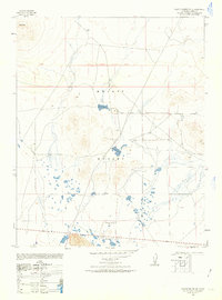
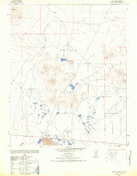
Other maps of this area

1915 · Searles Lake
USGS Topo · 1:250,000

1937 · Kramer
USGS Topo · 1:48,000

1937 · Rogers Lake
USGS Topo · 1:48,000

1942 · Kramer
USGS Topo · 1:62,500

1942 · Rogers Lake
USGS Topo · 1:62,500

1943 · Castle Butte
USGS Topo · 1:62,500

1947 · Fluhr
USGS Topo · 1:24,000

1947 · Castle Butte
USGS Topo · 1:50,000

1947 · Rich
USGS Topo · 1:24,000

1947 · Desert Butte
USGS Topo · 1:24,000