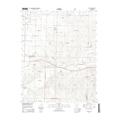
2014 Map of Gallatin
USGS Topo · Published 2014About this map
The Illinois River winds through the southern reaches of this Northwest Arkansas landscape, flowing past the historic Fisher Ford Bridge and through the rugged terrain of the Ozark National Forest. In the decade following the turn of the millennium, this region maintained a balance between its small-town centers and sprawling rural acreage. Key settlements like Gentry, Fairmount, and the western edge of Siloam Springs are interconnected by a network of local roads such as Ozark Valley Ln and Shady Grove Rd. For those researching family history, numerous burial sites are documented across the quadrangle, including the Flint Creek Cem and Lone Elm Cem. The area’s aviation ties are evidenced by Smith Field Airport and Williams Field Airport, while natural features like Martin Valley and Gum Springs Hollow define the undulating geography between the river and the northern prairies.
Find a feature on this map
108 named features on this map. Tap any name to fly to it.
Don’t see what you’re looking for? This feature index may not catch every label — zoom into the map to look around manually.
Map Details
Editions of this 2014 Gallatin Map
This is the sole edition of this map. No revisions or reprints were ever made.
Other maps of this area

1899 · Fayetteville
USGS Topo · 1:125,000

1899 · Siloam Springs
USGS Topo · 1:125,000

1901 · Fayetteville
USGS Topo · 1:125,000

1903 · Siloam Springs
USGS Topo · 1:125,000

1904 · Siloam Springs
USGS Topo · 1:125,000

1904 · Fayetteville
USGS Topo · 1:125,000

1954 · Tulsa
USGS Topo · 1:250,000

1958 · Tulsa
USGS Topo · 1:250,000

1963 · Tulsa
USGS Topo · 1:250,000

1970 · Gallatin
USGS Topo · 1:24,000