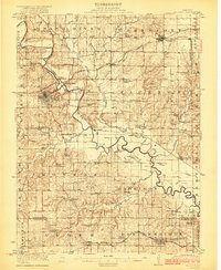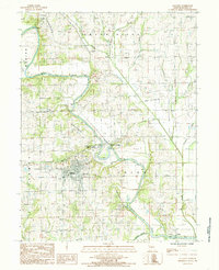
1984 Map of Gallatin
USGS Topo · Published 1985About this map
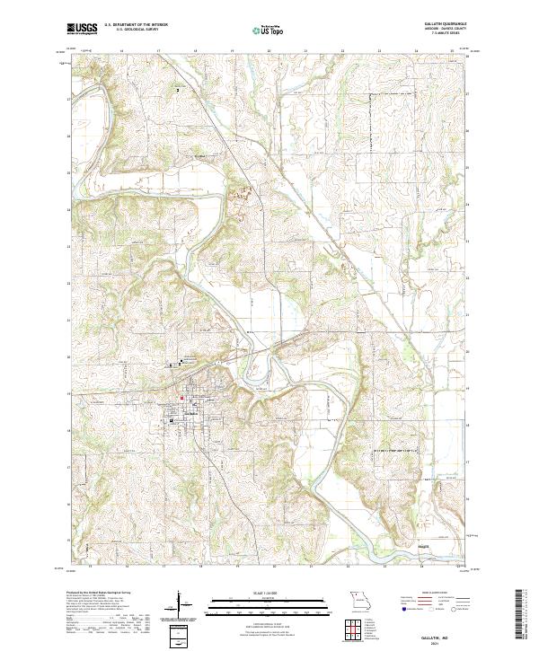
Gallatin serves as the focal point of this Northwest Missouri landscape, situated near the winding course of the Grand River. The mid-1980s terrain is defined by the convergence of numerous waterways, including Little Muddy Creek, Big Muddy Creek, and Lost Creek, which carve through the townships of Marion, Grand River, and Union. Evidence of the area's transportation history is visible in the Old Railroad Grade and the settlement at Wabash Crossing, reflecting a period when rail and river dominated local commerce.
Find a feature on this map
31 named features on this map. Tap any name to fly to it.
Don’t see what you’re looking for? This feature index may not catch every label — zoom into the map to look around manually.
Map Details
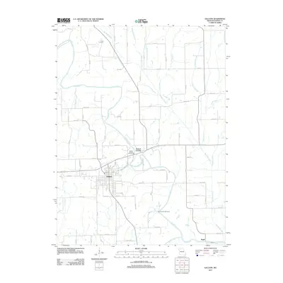
Editions of this 1984 Gallatin Map
This is the sole edition of this map. No revisions or reprints were ever made.
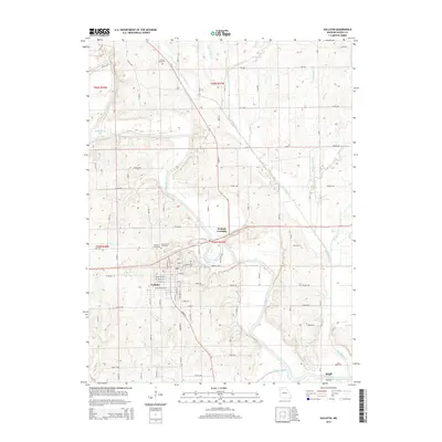
Historical Maps of Gallatin Through Time
6 maps found