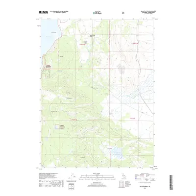
2018 Map of Gallatin Peak
USGS Topo · Published 2018About this map
Gallatin Peak rises as a prominent landmark within the Lassen National Forest, anchoring a landscape defined by high-elevation meadows and remote volcanic terrain. The area is characterized by significant topographic relief, with Mahogany Peak and Greens Peak overlooking a network of seasonal water bodies and drainage basins. Of particular interest to those studying the hydrology and land use of the region are the various meadows and basins such as Murrers Upper Meadow and Deans Meadow, which historically supported seasonal grazing and forest management activities.
Find a feature on this map
24 named features on this map. Tap any name to fly to it.
Don’t see what you’re looking for? This feature index may not catch every label — zoom into the map to look around manually.
Map Details
Editions of this 2018 Gallatin Peak Map
This is the sole edition of this map. No revisions or reprints were ever made.
Other maps of this area

1886 · Honey Lake
USGS Topo · 1:250,000

1891 · Honey Lake
USGS Topo · 1:250,000

1893 · Honey Lake
USGS Topo · 1:250,000

1954 · Susanville
USGS Topo · 1:62,500

1954 · Fredonyer Peak
USGS Topo · 1:62,500

1955 · Westwood
USGS Topo · 1:62,500

1955 · Westwood
USGS Topo · 1:250,000

1956 · Antelope Mtn
USGS Topo · 1:62,500

1958 · Westwood
USGS Topo · 1:250,000

1959 · Westwood
USGS Topo · 1:250,000