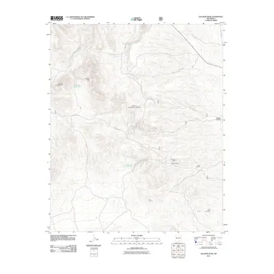
2011 Map of Gallinas Peak
USGS Topo · Published 2011About this map
Gallinas Peak dominates this high-elevation landscape within the Cibola National Forest, where the complex topography of the Gallinas Mountains meets a series of drainages and canyons. The map documents a sparse human presence in Socorro County, centered primarily around ranching and mining history. Key landmarks include the Council Rock Ranch near the Council Rock formation and the Medley Cemetery located along the banks of the Council Rock Arroyo.
Find a feature on this map
20 named features on this map. Tap any name to fly to it.
Don’t see what you’re looking for? This feature index may not catch every label — zoom into the map to look around manually.
Map Details
Editions of this 2011 Gallinas Peak Map
This is the sole edition of this map. No revisions or reprints were ever made.
Other maps of this area

1954 · Socorro
USGS Topo · 1:250,000

1958 · Socorro
USGS Topo · 1:250,000

1962 · Socorro
USGS Topo · 1:250,000

1963 · Arroyo Landavaso
USGS Topo · 1:24,000

1964 · Arrowhead Well
USGS Topo · 1:24,000

1964 · Indian Mesa
USGS Topo · 1:24,000

1964 · Silver Hill
USGS Topo · 1:24,000

1964 · Tres Montosas
USGS Topo · 1:24,000

1964 · Gallinas Peak
USGS Topo · 1:24,000

1964 · Lion Mountain
USGS Topo · 1:24,000