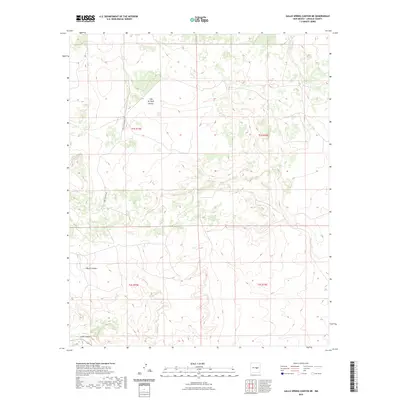
2023 Map of Gallo Spring Canyon NE
USGS Topo · Published 2023About this map
Cola del Gallo Arroyo cuts through the high desert of Lincoln County, defining the drainage patterns of this sparsely settled landscape. The topography is dominated by the deep incisions of North Canyon and Gallo Canyon, which carve through the plateau. A single primary thoroughfare, Red Canyon Rd, provides access across the township lines of T1S R15E and T2S R15E. This modern survey reflects the enduring character of the New Mexico backcountry, where the names often preserve older Spanish and local cultural identifiers. The map illustrates how water and terrain have historically dictated the placement of roads and the boundaries of private and public lands in this arid region.
Find a feature on this map
8 named features on this map. Tap any name to fly to it.
Don’t see what you’re looking for? This feature index may not catch every label — zoom into the map to look around manually.
Map Details
Editions of this 2023 Gallo Spring Canyon NE Map
This is the sole edition of this map. No revisions or reprints were ever made.
Other maps of this area

1954 · Fort Sumner
USGS Topo · 1:250,000

1958 · Fort Sumner
USGS Topo · 1:250,000

1980 · Corona
USGS Topo · 1:100,000

1981 · Gallo Spring Canyon
USGS Topo · 1:24,000

1981 · Gacho Hill SW
USGS Topo · 1:24,000

1981 · Camaleon Draw West
USGS Topo · 1:24,000

1981 · Camaleon Draw East
USGS Topo · 1:24,000

1981 · Cowboy Mesa SW
USGS Topo · 1:24,000
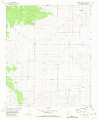
1981 · Cowboy Mesa NW
USGS Topo · 1:24,000
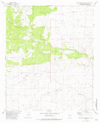
1981 · Red Bluff Draw East
USGS Topo · 1:24,000