
1981 Map of Cowboy Mesa SW
USGS Topo · Published 1981About this map
Arroyo del Gallo winds across this high desert landscape in Lincoln County, carving a distinct drainage pattern through the mesa terrain. Based on aerial photography from the mid-1970s and field-checked shortly thereafter, the map illustrates a sparsely populated region defined by its hydrologic features and subtle industrial activity. The presence of a Gravel Pit in the northern section of the survey suggests localized resource extraction typical of rural New Mexico during this era. Other significant watercourses, including Hackberry Draw and Hines Draw, further define the topography, showing how seasonal water flow has shaped the land over time. This survey serves as a precise record of the physical geography and minor infrastructure of the Cowboy Mesa area before the turn of the twenty-first century.
Find a feature on this map
4 named features on this map. Tap any name to fly to it.
Don’t see what you’re looking for? This feature index may not catch every label — zoom into the map to look around manually.
Map Details
Editions of this 1981 Cowboy Mesa SW Map
This is the sole edition of this map. No revisions or reprints were ever made.
Other maps of this area

1954 · Fort Sumner
USGS Topo · 1:250,000

1955 · Roswell
USGS Topo · 1:250,000

1958 · Fort Sumner
USGS Topo · 1:250,000

1958 · Roswell
USGS Topo · 1:250,000

1962 · Roswell
USGS Topo · 1:250,000

1980 · Corona
USGS Topo · 1:100,000

1981 · Cowboy Mesa NE
USGS Topo · 1:24,000
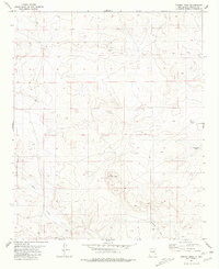
1981 · Cowboy Mesa
USGS Topo · 1:24,000
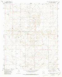
1981 · Juan Largo Canyon East
USGS Topo · 1:24,000
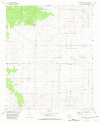
1981 · Cowboy Mesa NW
USGS Topo · 1:24,000