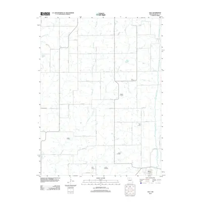
2012 Map of Galt
USGS Topo · Published 2012About this map
The city of Galt serves as the focal point in this portion of Grundy County, situated in the southeastern corner where local roads converge. The surrounding landscape is defined by the branching waterways of Little Medicine Creek, Big No Creek, and Little No Creek, which dictate the rural property lines and the placement of several small reservoirs like Parr Lake and Berry Lake.
Find a feature on this map
42 named features on this map. Tap any name to fly to it.
Don’t see what you’re looking for? This feature index may not catch every label — zoom into the map to look around manually.
Map Details
Editions of this 2012 Galt Map
This is the sole edition of this map. No revisions or reprints were ever made.
Other maps of this area

1946 · Princeton
USGS Topo · 1:62,500

1946 · Galt
USGS Topo · 1:62,500

1948 · Princeton
USGS Topo · 1:62,500

1948 · Trenton
USGS Topo · 1:62,500

1949 · Galt
USGS Topo · 1:62,500

1954 · Centerville
USGS Topo · 1:250,000

1957 · Centerville
USGS Topo · 1:250,000

1958 · Centerville
USGS Topo · 1:250,000

1964 · Harris
USGS Topo · 1:24,000

1964 · Half Rock
USGS Topo · 1:24,000