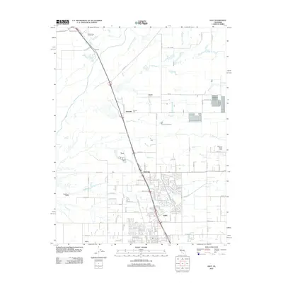
2012 Map of Galt
USGS Topo · Published 2012About this map
Galt serves as the primary hub of this Sacramento County landscape, where modern residential development meets an established agricultural and aviation network. The town's layout is bisected by Highway 99, which connects it to smaller settlements like Twin Cities and the rural locality of Need. To the north, the historic character of the region is preserved at the Hicksville Cem and the surrounding area of Hicksville.
Find a feature on this map
108 named features on this map. Tap any name to fly to it.
Don’t see what you’re looking for? This feature index may not catch every label — zoom into the map to look around manually.
Map Details
Editions of this 2012 Galt Map
This is the sole edition of this map. No revisions or reprints were ever made.
Other maps of this area

1894 · Lodi
USGS Topo · 1:125,000

1908 · Lockeford
USGS Topo · 1:31,680

1909 · Elk Grove
USGS Topo · 1:31,680

1909 · Clay
USGS Topo · 1:31,680

1909 · Cosumnes
USGS Topo · 1:31,680

1909 · Florin
USGS Topo · 1:31,680

1910 · New Hope
USGS Topo · 1:31,680

1910 · Woodbridge
USGS Topo · 1:31,680

1910 · Bruceville
USGS Topo · 1:31,680

1910 · Galt
USGS Topo · 1:31,680