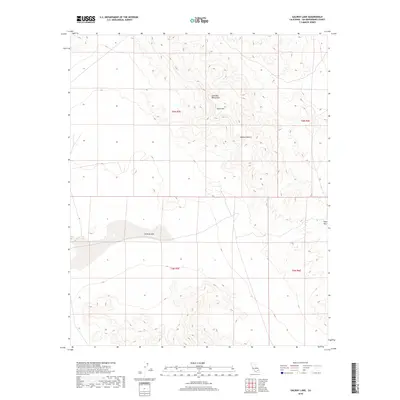
2018 Map of Galway Lake
USGS Topo · Published 2018About this map
Galway Lake occupies the central depression of this arid landscape, serving as a prominent basin within the Mojave Desert. The topography is defined by the high elevations of the Lava Bed Mountains to the north, where Argos Mtn stands as a significant volcanic landmark. This 2018 survey documents a region of dramatic vertical relief, where steep contour lines reveal the complex geography of the high desert. To the east, Gays Pass provides a natural corridor through the ridgelines, marking a transition point in the local terrain. The map captures the specialized environmental character of San Bernardino County, emphasizing the relationship between seasonal water catchment basins and the surrounding volcanic ranges that overlook the vast desert floor.
Find a feature on this map
9 named features on this map. Tap any name to fly to it.
Don’t see what you’re looking for? This feature index may not catch every label — zoom into the map to look around manually.
Map Details
Editions of this 2018 Galway Lake Map
This is the sole edition of this map. No revisions or reprints were ever made.
Other maps of this area

1901 · Southern California Sheet No. 1
USGS Topo · 1:250,000

1902 · San Gorgonio
USGS Topo · 1:125,000

1904 · Southern California Sheet No. 1
USGS Topo · 1:250,000

1953 · San Bernardino
USGS Topo · 1:250,000

1954 · Galway Lake
USGS Topo · 1:24,000

1954 · Hidalgo Mtn
USGS Topo · 1:24,000

1954 · Emerson Lake
USGS Topo · 1:24,000

1955 · Lavic SE
USGS Topo · 1:24,000

1955 · Silver Bell Mine
USGS Topo · 1:24,000

1955 · Sunshine Peak
USGS Topo · 1:24,000