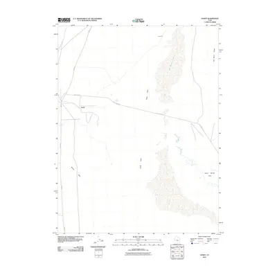
2010 Map of Gandy
USGS Topo · Published 2010About this map
Snake Valley and the vast expanse of Salt Marsh Lake dominate this high-desert landscape in western Millard County. The settlement of Gandy sits at the base of the mountains, served by Swan Creek and the intersection of Gandy Rd and Foot Ranch Rd. This 2010 survey illustrates the isolation and water-dependent nature of the region, where life is centered around remote outposts like Smithville and the critical water sources found at Cold Spring and the Bishop Springs Area. The terrain transitions from the alluvial fans of Marble Wash to the rugged elevations of the Salt Marsh Range, capturing the sparse but persistent human presence in the Great Basin. Local history researchers can trace the modern road network that still follows the valley floors, connecting these distant ranching and agricultural sites.
Find a feature on this map
11 named features on this map. Tap any name to fly to it.
Don’t see what you’re looking for? This feature index may not catch every label — zoom into the map to look around manually.
Map Details
Editions of this 2010 Gandy Map
This is the sole edition of this map. No revisions or reprints were ever made.
Other maps of this area

1908 · Fish Springs
USGS Topo · 1:250,000

1910 · Fish Springs
USGS Topo · 1:250,000

1953 · Delta
USGS Topo · 1:250,000

1956 · Ely
USGS Topo · 1:250,000

1958 · Delta
USGS Topo · 1:250,000

1959 · Ely
USGS Topo · 1:250,000

1960 · Gandy
USGS Topo · 1:62,500

1961 · Trout Creek
USGS Topo · 1:62,500

1962 · Delta
USGS Topo · 1:250,000

1963 · Ely
USGS Topo · 1:250,000