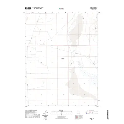
2020 Map of Gandy
USGS Topo · Published 2020About this map
Gandy stands as a primary point of settlement in this arid reach of eastern Millard County, situated within the broad expanse of Snake Valley. The landscape is defined by its vital water sources and drainage patterns, including the notable Cold Spring and the seasonal flow of Susan Cr. The terrain is marked by significant geographic features like the Salt Marsh Range and Marble Wash, which influence the local topography. Transportation across this rural environment is anchored by the convergence of Gandy Rd and Foot Ranch Rd, providing the essential network for ranching and access through this desert basin.
Find a feature on this map
8 named features on this map. Tap any name to fly to it.
Don’t see what you’re looking for? This feature index may not catch every label — zoom into the map to look around manually.
Map Details
Editions of this 2020 Gandy Map
This is the sole edition of this map. No revisions or reprints were ever made.
Other maps of this area

1908 · Fish Springs
USGS Topo · 1:250,000

1910 · Fish Springs
USGS Topo · 1:250,000

1953 · Delta
USGS Topo · 1:250,000

1956 · Ely
USGS Topo · 1:250,000

1958 · Delta
USGS Topo · 1:250,000

1959 · Ely
USGS Topo · 1:250,000

1960 · Gandy
USGS Topo · 1:62,500

1961 · Trout Creek
USGS Topo · 1:62,500

1962 · Delta
USGS Topo · 1:250,000

1963 · Ely
USGS Topo · 1:250,000