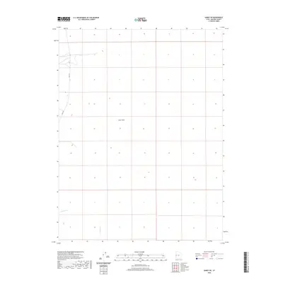
2020 Map of Gandy SW
USGS Topo · Published 2020About this map
Snake Valley defines the core of this western Millard County landscape, a broad expanse of high-desert terrain punctuated by seasonal watercourses. The map traces the essential north-south corridor of Gandy Rd, which serves as the primary artery for this sparsely populated region near the Nevada border. Drainages such as Smith Cr, Hampton Cr, and Hendrys Cr provide the critical hydrographic skeleton for the valley floor, indicating where water intermittently flows from the nearby highlands. This survey documents the persistent rural character of the Great Basin at the start of the 2020s, where traditional land divisions and remote roadways remain the dominant human imprints on the land.
Find a feature on this map
5 named features on this map. Tap any name to fly to it.
Don’t see what you’re looking for? This feature index may not catch every label — zoom into the map to look around manually.
Map Details
Editions of this 2020 Gandy SW Map
This is the sole edition of this map. No revisions or reprints were ever made.
Other maps of this area

1908 · Fish Springs
USGS Topo · 1:250,000

1910 · Fish Springs
USGS Topo · 1:250,000

1953 · Delta
USGS Topo · 1:250,000

1956 · Ely
USGS Topo · 1:250,000

1958 · Delta
USGS Topo · 1:250,000

1959 · Ely
USGS Topo · 1:250,000

1960 · Conger Range
USGS Topo · 1:62,500

1960 · Gandy
USGS Topo · 1:62,500

1962 · Delta
USGS Topo · 1:250,000

1963 · Ely
USGS Topo · 1:250,000