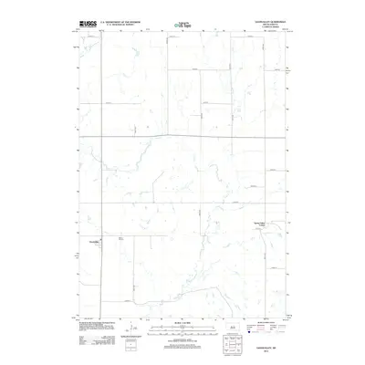
2012 Map of Gannvalley
USGS Topo · Published 2012About this map
Gannvalley serves as the quiet center of this Buffalo County landscape, where the prairie is defined by the winding course of Crow Cr and a strict grid of section-line roads. This survey, grounded in imagery from 2010, shows the rural community pattern of Elvira Township during the early 21st century. To the northeast of the main settlement lies the Spring Valley Colony, a distinct communal agricultural development that stands as a modern testament to the region's enduring heritage of specialized farming settlements. Local history is anchored by the Spring Hill Cem, located just east of the village, which provides a primary genealogical reference point for the families who have worked this land since its early days of homesteading. The interplay between the natural meanders of the creek and the geometric precision of routes like 362nd Ave illustrates the continued human organization of the South Dakota plains.
Find a feature on this map
17 named features on this map. Tap any name to fly to it.
Don’t see what you’re looking for? This feature index may not catch every label — zoom into the map to look around manually.
Map Details
Editions of this 2012 Gannvalley Map
This is the sole edition of this map. No revisions or reprints were ever made.
Other maps of this area

1941 · Pukwana
USGS Topo · 1:62,500

1941 · Kimball North
USGS Topo · 1:62,500

1951 · Pukwana
USGS Topo · 1:62,500

1951 · Kimball North
USGS Topo · 1:62,500

1953 · Huron
USGS Topo · 1:250,000

1954 · Huron
USGS Topo · 1:250,000

1955 · Mitchell
USGS Topo · 1:250,000

1959 · Mitchell
USGS Topo · 1:250,000

1973 · Big Bend Dam 4 SE
USGS Topo · 1:24,000

1973 · Gannvalley
USGS Topo · 1:24,000