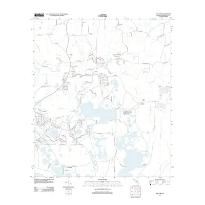
2012 Map of Gap Lake
USGS Topo · Published 2012About this map
Gap Lake and a dense network of smaller basins like Roundabout Lake, Watering Lake, and Boat Lake characterize this corner of Washington County. The settlement at Grantham sits near the southern edge, surrounded by family burial grounds that offer significant genealogical value, including Lay Cem, Wood Cem, and the Deadening Cem located near Hamlin Lake.
Find a feature on this map
206 named features on this map. Tap any name to fly to it.
Don’t see what you’re looking for? This feature index may not catch every label — zoom into the map to look around manually.
Map Details
Editions of this 2012 Gap Lake Map
This is the sole edition of this map. No revisions or reprints were ever made.
Other maps of this area

1944 · Crystal Lake
USGS Topo · 1:24,000

1944 · Bennett
USGS Topo · 1:24,000

1945 · Bennett
USGS Topo · 1:31,680

1945 · Crystal Lake
USGS Topo · 1:31,680

1945 · Fountain
USGS Topo · 1:31,680

1950 · Vernon
USGS Topo · 1:24,000

1950 · Wausau
USGS Topo · 1:24,000

1950 · Gap Lake
USGS Topo · 1:24,000

1950 · Poplar Head
USGS Topo · 1:24,000

1951 · Wausau
USGS Topo · 1:24,000