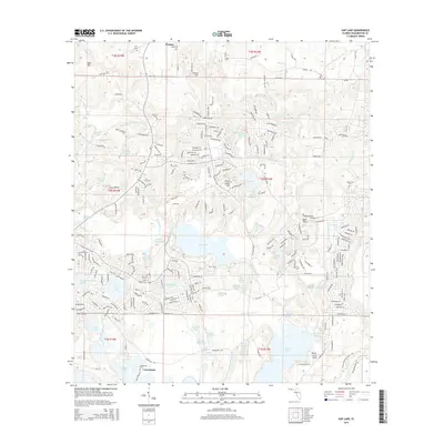
2015 Map of Gap Lake
USGS Topo · Published 2015About this map
Gap Lake and its surrounding wetlands form the center of this Washington County survey, where the Panhandle's low-lying hydrology meets the rising elevations of Sand Mtn and Sexton Hill. To the north, the small settlement of Wausau sits near the headwaters of Reedy Cr, while the southern landscape is defined by the larger waters of Boat Lake and the residential corridors along Sunny Hills Blvd. This 2015 edition captures a modern network of paved boulevards and winding drives that weave through an older patchwork of cemeteries, including Lay Cem, Wood Cem, and the Deadening Cem near the southern settlement of Grantham. Evidence of the area's industrial and agricultural past is found in the scattered namesake ponds, such as Griffin Mill Pond and Rice Machine Pond, which dot the drainages of White Oak Cr and White Lake.
Find a feature on this map
237 named features on this map. Tap any name to fly to it.
Don’t see what you’re looking for? This feature index may not catch every label — zoom into the map to look around manually.
Map Details
Editions of this 2015 Gap Lake Map
This is the sole edition of this map. No revisions or reprints were ever made.
Other maps of this area

1944 · Crystal Lake
USGS Topo · 1:24,000

1944 · Bennett
USGS Topo · 1:24,000

1945 · Bennett
USGS Topo · 1:31,680

1945 · Crystal Lake
USGS Topo · 1:31,680

1945 · Fountain
USGS Topo · 1:31,680

1950 · Vernon
USGS Topo · 1:24,000

1950 · Wausau
USGS Topo · 1:24,000

1950 · Gap Lake
USGS Topo · 1:24,000

1950 · Poplar Head
USGS Topo · 1:24,000

1951 · Wausau
USGS Topo · 1:24,000