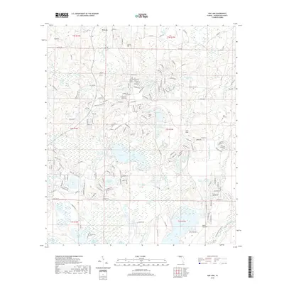
2018 Map of Gap Lake
USGS Topo · Published 2018About this map
The town of Wausau and its surrounding wetlands define this portion of Washington County. At the heart of the landscape lies Gap Lake, an expansive water body flanked by a complex network of smaller ponds and swamps, including Mobile Swamp and Gap Lake Swamp. This area is characterized by its high density of localized water features and small-scale land elevations like Sexton Hill and Sand Mtn, reflecting the characteristic karst-influenced topography of the Florida Panhandle.
Find a feature on this map
223 named features on this map. Tap any name to fly to it.
Don’t see what you’re looking for? This feature index may not catch every label — zoom into the map to look around manually.
Map Details
Editions of this 2018 Gap Lake Map
This is the sole edition of this map. No revisions or reprints were ever made.
Other maps of this area
1944 · Crystal Lake
USGS Topo · 1:24,000
1944 · Bennett
USGS Topo · 1:24,000
1945 · Bennett
USGS Topo · 1:31,680
1945 · Crystal Lake
USGS Topo · 1:31,680
1945 · Fountain
USGS Topo · 1:31,680
1950 · Vernon
USGS Topo · 1:24,000
1950 · Wausau
USGS Topo · 1:24,000
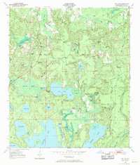
1950 · Gap Lake
USGS Topo · 1:24,000
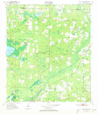
1950 · Poplar Head
USGS Topo · 1:24,000
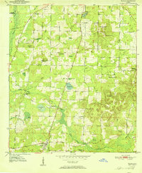
1951 · Wausau
USGS Topo · 1:24,000