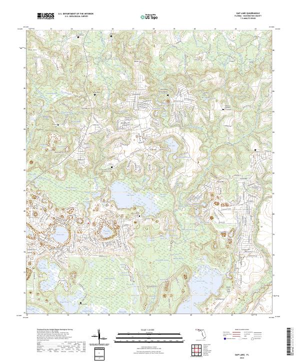
2024 Map of Gap Lake
USGS Topo · Published 2024About this map
Gap Lake sits at the heart of this Washington County landscape, surrounded by a dense network of water bodies and community landmarks. The area is defined by numerous cemeteries and churches that speak to the local genealogy, including the Gap Pond Church Cem and the Hills Community Church Presbyterian Cem. To the north, Sexton Hill rises above a series of smaller ponds, while the western reaches include Sodom Swamp and the headwaters of Wells Mill Creek.
Find a feature on this map
269 named features on this map. Tap any name to fly to it.
Don’t see what you’re looking for? This feature index may not catch every label — zoom into the map to look around manually.
Map Details
Editions of this 2024 Gap Lake Map
This is the sole edition of this map. No revisions or reprints were ever made.
Other maps of this area

1944 · Crystal Lake
USGS Topo · 1:24,000

1944 · Bennett
USGS Topo · 1:24,000

1945 · Bennett
USGS Topo · 1:31,680

1945 · Crystal Lake
USGS Topo · 1:31,680

1945 · Fountain
USGS Topo · 1:31,680

1950 · Vernon
USGS Topo · 1:24,000

1950 · Wausau
USGS Topo · 1:24,000

1950 · Gap Lake
USGS Topo · 1:24,000

1950 · Poplar Head
USGS Topo · 1:24,000

1951 · Wausau
USGS Topo · 1:24,000