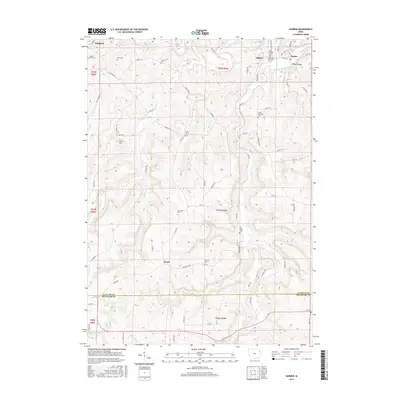
2015 Map of Garber
USGS Topo · Published 2015About this map
The Volga River and Turkey River converge in the northeastern corner of this Clayton County landscape, where the neighboring settlements of Elkport and Garber are situated along the valley floor. This 2015 survey reveals a terrain defined by deep river valleys and high ridges, where local genealogy is preserved in numerous rural burial grounds such as Saint Michaels Cem, Immanuel Lutheran Cem, and Mount Harmony Cem. The drainage network, including Wolf Cr and Elk Cr, dictates the placement of historically named roads like Colesburg Rd and Hilton Rd. Further west, the map documents Littleport and nearby Sacred Heart Cem, illustrating how early 20th-century community centers were established relative to the region's steep hydrology and the winding Wayman Cr.
Find a feature on this map
71 named features on this map. Tap any name to fly to it.
Don’t see what you’re looking for? This feature index may not catch every label — zoom into the map to look around manually.
Map Details
Editions of this 2015 Garber Map
This is the sole edition of this map. No revisions or reprints were ever made.
Other maps of this area

1902 · Elkader
USGS Topo · 1:125,000

1957 · Colesburg
USGS Topo · 1:24,000

1959 · Dubuque
USGS Topo · 1:250,000

1961 · Dubuque
USGS Topo · 1:250,000

1962 · Dubuque
USGS Topo · 1:250,000
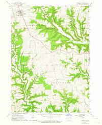
1962 · Garnavillo
USGS Topo · 1:24,000

1962 · Petersburg
USGS Topo · 1:24,000
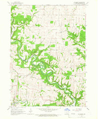
1964 · Littleport
USGS Topo · 1:24,000

1964 · Edgewood
USGS Topo · 1:24,000

1964 · Garber
USGS Topo · 1:24,000