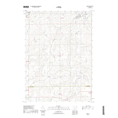
2018 Map of Garber
USGS Topo · Published 2018About this map
Garber and Elkport sit at the confluence of the Volga River and Turkey River, a landscape defined by the deep valleys and high ridges of northeastern Iowa. This survey reveals a community anchored by numerous family and church cemeteries, such as Mount Harmony Cem, Asbury Cem, and Sacred Heart Cem, which dot the rural countryside. The settlement of Wood remains marked in the southern reaches, connected by a network of local roads like Hilton RD and Horseshoe RD. Further north, Littleport occupies a bend in the Volga, while the Garber Bridge provides a critical crossing over the Turkey River. The concentration of religious and municipal sites, including the Immanuel Lutheran Cem and Saint Michaels Cem, reflects the enduring social and genealogical fabric of Clayton County just north of the Delaware Co line.
Find a feature on this map
77 named features on this map. Tap any name to fly to it.
Don’t see what you’re looking for? This feature index may not catch every label — zoom into the map to look around manually.
Map Details
Editions of this 2018 Garber Map
This is the sole edition of this map. No revisions or reprints were ever made.
Other maps of this area

1902 · Elkader
USGS Topo · 1:125,000

1957 · Colesburg
USGS Topo · 1:24,000

1959 · Dubuque
USGS Topo · 1:250,000

1961 · Dubuque
USGS Topo · 1:250,000

1962 · Dubuque
USGS Topo · 1:250,000
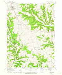
1962 · Garnavillo
USGS Topo · 1:24,000

1962 · Petersburg
USGS Topo · 1:24,000
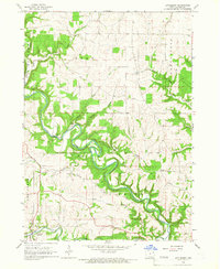
1964 · Littleport
USGS Topo · 1:24,000

1964 · Edgewood
USGS Topo · 1:24,000

1964 · Garber
USGS Topo · 1:24,000