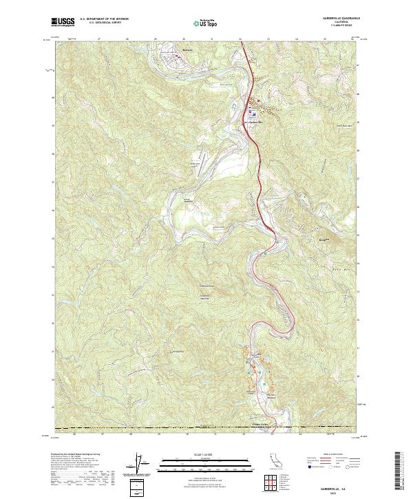
2022 Map of Garberville
USGS Topo · Published 2022About this map
Garberville and Redway serve as the primary hubs in this section of the South Fork Eel River canyon, where the river winds through steep terrain marked by family-named ridges and clearings. The landscape is defined by its verticality, rising from the riverbanks to heights like Schofield Peak and Reed Mtn. Public and local interest landmarks including the Garberville Airport and Garberville Cem sit near the valley floor, while further south, the settlement of Benbow and the landmark Hartsook Giant reflect the region's long-standing connection to the redwood corridor. Moving toward the southern boundary at the Humboldt Co and Mendocino Co line, the map documents small forest openings such as Schofield Opening and Stone Opening, alongside named water sources like Ten Oak Springs and Kauffman Spring, providing a record of the hydrological network supporting these hillside communities.
Find a feature on this map
105 named features on this map. Tap any name to fly to it.
Don’t see what you’re looking for? This feature index may not catch every label — zoom into the map to look around manually.
Map Details
Editions of this 2022 Garberville Map
This is the sole edition of this map. No revisions or reprints were ever made.
Other maps of this area

1920 · Cummings
USGS Topo · 1:62,500

1920 · Harris
USGS Topo · 1:62,500

1921 · Briceland
USGS Topo · 1:62,500

1949 · Alderpoint
USGS Topo · 1:62,500

1949 · Garberville
USGS Topo · 1:62,500

1950 · Piercy
USGS Topo · 1:62,500

1951 · Alderpoint
USGS Topo · 1:62,500

1951 · Garberville
USGS Topo · 1:62,500

1952 · Leggett
USGS Topo · 1:62,500

1957 · Ukiah
USGS Topo · 1:250,000