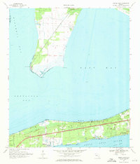
1970 Map of Garcon Point
USGS Topo · Published 1971About this map
Santa Rosa Sound and the surrounding bays dominate this coastal landscape, illustrating the geography of the Florida Panhandle in the early 1970s. The map highlights the narrow peninsula at Garcon Point, separating Escambia Bay from East Bay, where tidal flats meet the water at White Point and Hernandez Point. The southern shore shows the residential development of Gulf Breeze and Woodlawn Beach, centered along the primary roadway corridor. This period reveals a landscape transitioning from rural coastal uses to modern residential settlement, as seen by the presence of the Midway Landing Strip and the Golf Course near the sound. Genealogists may find value in the specific locations of Wilson Memorial Ch, St Pauls Ch, and the Black Hammock Cem near the northern boundary. The Intracoastal Waterway cuts a clear path through the sound, marking the era's critical maritime infrastructure.
Find a feature on this map
22 named features on this map. Tap any name to fly to it.
Don’t see what you’re looking for? This feature index may not catch every label — zoom into the map to look around manually.
Map Details
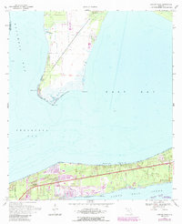
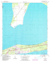
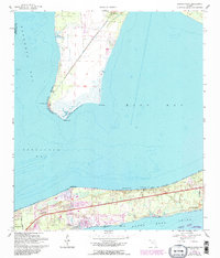
Editions of this 1970 Garcon Point Map
4 editions found
Other maps of this area

1920 · Milton
USGS Topo · 1:62,500

1921 · Holley
USGS Topo · 1:62,500

1921 · Pensacola
USGS Topo · 1:62,500

1934 · Harold
USGS Topo · 1:62,500

1936 · Holley
USGS Topo · 1:48,000

1937 · Harold
USGS Topo · 1:62,500

1938 · Holley
USGS Topo · 1:62,500

1938 · Harold
USGS Topo · 1:62,500

1941 · Pensacola
USGS Topo · 1:62,500

1941 · Milton
USGS Topo · 1:62,500