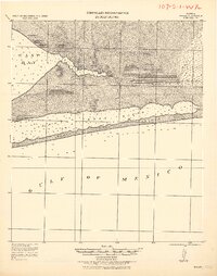
1970 Map of Garcon Point
USGS Topo · Published 1992About this map
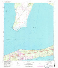
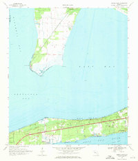
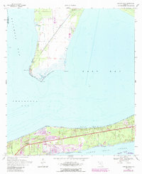
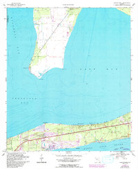
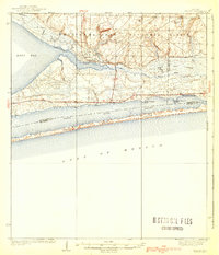
Garcon Point and the surrounding waters of Escambia Bay, East Bay, and Pensacola Bay define the coastal geography of this Santa Rosa County area. The map illustrates the development of the Fairpoint Peninsula, showing the community of Gulf Breeze expanding eastward toward Tiger Point and Woodlawn Beach. The landscape is a mix of tidal flats and coastal woodlands, with religious and commemorative sites like St Pauls Ch, Wilson Memorial Ch, and the Black Hammock Cem scattered near the shoreline.
Find a feature on this map
23 named features on this map. Tap any name to fly to it.
Don’t see what you’re looking for? This feature index may not catch every label — zoom into the map to look around manually.
Map Details
Editions of this 1970 Garcon Point Map
4 editions found
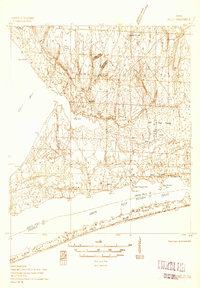
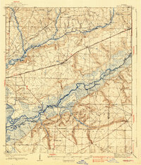
Other maps of this area

1920 · Milton
USGS Topo · 1:62,500
1921 · Holley
USGS Topo · 1:62,500

1921 · Pensacola
USGS Topo · 1:62,500
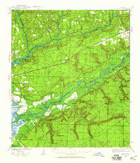
1934 · Harold
USGS Topo · 1:62,500
1936 · Holley
USGS Topo · 1:48,000
1937 · Harold
USGS Topo · 1:62,500
1938 · Holley
USGS Topo · 1:62,500
1938 · Harold
USGS Topo · 1:62,500

1941 · Pensacola
USGS Topo · 1:62,500

1941 · Milton
USGS Topo · 1:62,500