
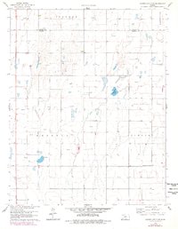
1959 Map of Garden City 3 NE
USGS Topo · Published 1961About this map
Ivanhoe and Lockport townships define this stretch of the High Plains at the close of the 1950s. The landscape is characterized by a dense grid of section lines and the emerging energy economy, marked by dozens of Gas Wells scattered across the prairie. This transition to industrial extraction occurs alongside a surviving network of early rural community centers, including Pleasant Valley Sch and Lake View Sch. In the southwestern corner, the Ivanhoe Cem serves as a vital touchstone for local genealogy, marking the site of a once-aspiring settlement. The topography is largely defined by depressions and intermittent water features like Wild Horse Lake, showing the natural drainage patterns of Haskell County before modern agricultural intensification.
Find a feature on this map
11 named features on this map. Tap any name to fly to it.
Don’t see what you’re looking for? This feature index may not catch every label — zoom into the map to look around manually.
Map Details
Editions of this 1959 Garden City 3 NE Map
3 editions found
Other maps of this area

1896 · Garden
USGS Topo · 1:125,000

1955 · Dodge City
USGS Topo · 1:250,000

1958 · Dodge City
USGS Topo · 1:250,000

1959 · Dodge City
USGS Topo · 1:250,000

1959 · Garden City 3 NW
USGS Topo · 1:24,000

1960 · Garden City SW
USGS Topo · 1:24,000

1960 · Garden City 3 SW
USGS Topo · 1:24,000

1960 · Garden City 3 SE
USGS Topo · 1:24,000

1960 · Plymell
USGS Topo · 1:24,000

1967 · Pierceville SW
USGS Topo · 1:24,000