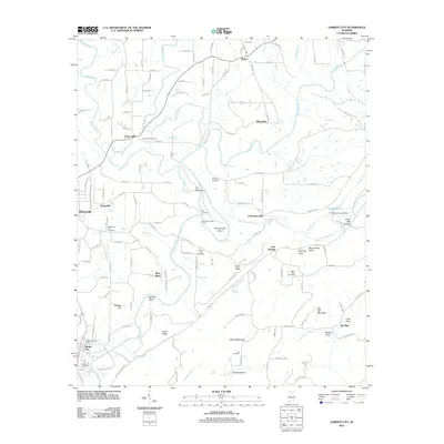
2011 Map of Garden City
USGS Topo · Published 2011About this map
Mulberry Fork carves a winding path through the heart of this landscape, defining the terrain from The Narrows down to the southern bends near Garden City. This 2011 survey documents a mix of agricultural valley life and dense woodland, where longstanding rural settlements like Walter, Riverside, and Steppville maintain their place within the drainage systems of the Broglen River and Duck River.
Find a feature on this map
137 named features on this map. Tap any name to fly to it.
Don’t see what you’re looking for? This feature index may not catch every label — zoom into the map to look around manually.
Map Details
Editions of this 2011 Garden City Map
This is the sole edition of this map. No revisions or reprints were ever made.
Other maps of this area

1888 · Cullman
USGS Topo · 1:125,000

1889 · Birmingham
USGS Topo · 1:125,000

1892 · Cullman
USGS Topo · 1:125,000

1892 · Birmingham
USGS Topo · 1:125,000

1895 · Birmingham
USGS Topo · 1:125,000

1907 · Birmingham
USGS Topo · 1:125,000

1936 · Holly Pond
USGS Topo · 1:24,000

1951 · Blount Springs
USGS Topo · 1:24,000

1953 · Birmingham
USGS Topo · 1:250,000

1956 · Birmingham
USGS Topo · 1:250,000