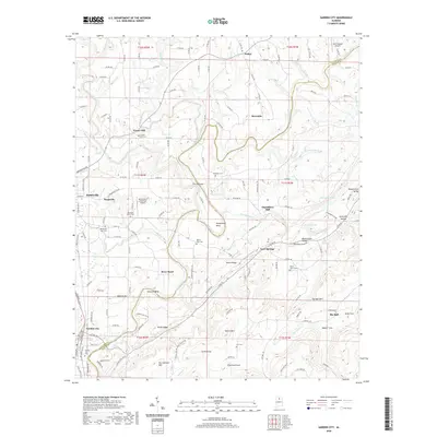
2020 Map of Garden City
USGS Topo · Published 2020About this map
The Mulberry Fork snakes through the borderlands of Cullman and Blount Counties, defining a landscape of sharp river bends and high ridges. Significant topographical features like The Narrows and Pumphouse Bend illustrate the dramatic winding path of the water as it passes through the region. In the southwestern corner, the town of Garden City is a primary hub of activity, situated near the Garden City Cem and several local peaks including Ann Johnson Mtn and South Ridge.
Find a feature on this map
154 named features on this map. Tap any name to fly to it.
Don’t see what you’re looking for? This feature index may not catch every label — zoom into the map to look around manually.
Map Details
Editions of this 2020 Garden City Map
This is the sole edition of this map. No revisions or reprints were ever made.
Other maps of this area

1888 · Cullman
USGS Topo · 1:125,000

1889 · Birmingham
USGS Topo · 1:125,000

1892 · Cullman
USGS Topo · 1:125,000

1892 · Birmingham
USGS Topo · 1:125,000

1895 · Birmingham
USGS Topo · 1:125,000
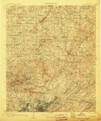
1907 · Birmingham
USGS Topo · 1:125,000
1936 · Holly Pond
USGS Topo · 1:24,000
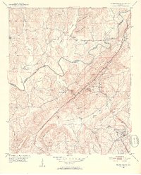
1951 · Blount Springs
USGS Topo · 1:24,000

1953 · Birmingham
USGS Topo · 1:250,000

1956 · Birmingham
USGS Topo · 1:250,000