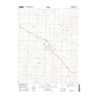
2014 Map of Garden City
USGS Topo · Published 2014About this map
Garden City serves as the primary hub of this Cass County landscape, where the local transportation network transitions from the diagonal path of Old Highway 7 to a rigid grid of rural routes like S Little Rd and E 315th St. The area is defined by a series of north-south running waterways, including Panther Cr, Sugar Cr, and Lick Branch, which carve through the agricultural terrain.
Find a feature on this map
52 named features on this map. Tap any name to fly to it.
Don’t see what you’re looking for? This feature index may not catch every label — zoom into the map to look around manually.
Map Details
Editions of this 2014 Garden City Map
This is the sole edition of this map. No revisions or reprints were ever made.
Other maps of this area
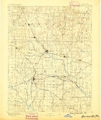
1887 · Harrisonville
USGS Topo · 1:125,000
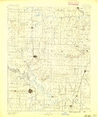
1887 · Butler
USGS Topo · 1:125,000
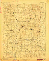
1892 · Harrisonville
USGS Topo · 1:125,000
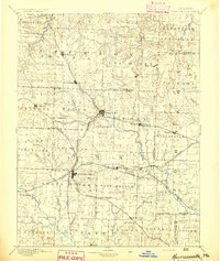
1894 · Harrisonville
USGS Topo · 1:125,000
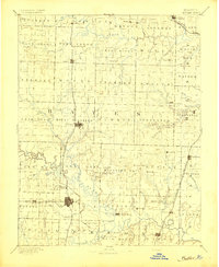
1894 · Butler
USGS Topo · 1:125,000
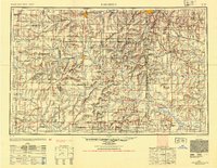
1947 · Lawrence
USGS Topo · 1:250,000
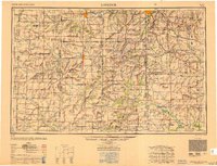
1950 · Lawrence
USGS Topo · 1:250,000
1953 · Creighton
USGS Topo · 1:24,000
1954 · Harrisonville
USGS Topo · 1:24,000
1954 · East Lynne
USGS Topo · 1:24,000