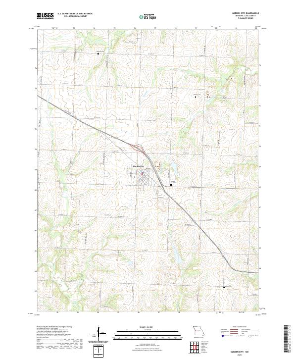
2021 Map of Garden City
USGS Topo · Published 2021About this map
Garden City serves as the central hub of this Cass County landscape, where a dense grid of residential streets including Fir St, Gum St, and Main St meet at the junction of State Rte F and S State Rte 7. The surrounding area is defined by a rhythmic pattern of drainages and small tributaries, most notably Panther Creek and Clear Creek, which carve gentle valleys through the Missouri countryside.
Find a feature on this map
65 named features on this map. Tap any name to fly to it.
Don’t see what you’re looking for? This feature index may not catch every label — zoom into the map to look around manually.
Map Details
Editions of this 2021 Garden City Map
This is the sole edition of this map. No revisions or reprints were ever made.
Other maps of this area

1887 · Harrisonville
USGS Topo · 1:125,000

1887 · Butler
USGS Topo · 1:125,000

1892 · Harrisonville
USGS Topo · 1:125,000

1894 · Harrisonville
USGS Topo · 1:125,000

1894 · Butler
USGS Topo · 1:125,000

1947 · Lawrence
USGS Topo · 1:250,000

1950 · Lawrence
USGS Topo · 1:250,000
1953 · Creighton
USGS Topo · 1:24,000

1954 · Harrisonville
USGS Topo · 1:24,000
1954 · East Lynne
USGS Topo · 1:24,000