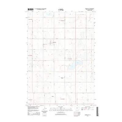
2015 Map of Garden City
USGS Topo · Published 2015About this map
Garden City and the small settlement of Elrod define the human landscape of this Clark County map. Situated on the Coteau des Prairies, a vast plateau rising above the surrounding plains, the area is marked by the distinctive glacial topography of the region. The map reveals a strictly organized section-line road grid, including Cr-29 and numerous numbered avenues like 431st Ave, which segment the prairie into agricultural blocks. Local history is anchored at the Garden City Cem and within the residential layout of Garden City itself along 1st St SW. Natural depressions in the terrain are evident at Mankey Slough, illustrating the typical prairie pothole hydrology that characterizes this portion of South Dakota. The survey provides a clear view of the mid-20th-century rural infrastructure, from township boundaries like t117n r56w to the intricate network of local farm roads.
Find a feature on this map
27 named features on this map. Tap any name to fly to it.
Don’t see what you’re looking for? This feature index may not catch every label — zoom into the map to look around manually.
Map Details
Editions of this 2015 Garden City Map
This is the sole edition of this map. No revisions or reprints were ever made.
Other maps of this area
1953 · Milbank
USGS Topo · 1:250,000
1953 · Watertown
USGS Topo · 1:250,000
1958 · Milbank
USGS Topo · 1:250,000
1958 · Watertown
USGS Topo · 1:250,000
1973 · Bradley
USGS Topo · 1:24,000
1973 · Wallace
USGS Topo · 1:24,000
1973 · Heggs Lake
USGS Topo · 1:24,000
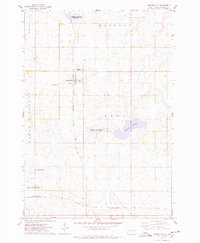
1973 · Garden City
USGS Topo · 1:24,000
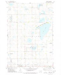
1973 · Henry
USGS Topo · 1:24,000
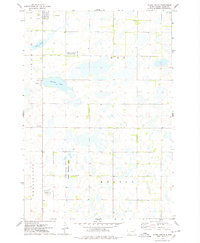
1973 · Clark South
USGS Topo · 1:24,000