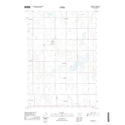
2017 Map of Garden City
USGS Topo · Published 2017About this map
Coteau des Prairies, a high glacial plateau, defines the topography of this Clark County region. This 2017 survey details the prairie landscape surrounding the small settlements of Garden City and Elrod. The map captures a high density of seasonal wetlands and depressional basins, characteristic of this area's geology, including the prominent Mankey Slough. For genealogists and local historians, the document precisely locates the Garden City Cem and shows the grid of rural roads like Co Rd 29 and S Dakota Highway 25 that connect these remote agricultural communities. The land is organized into the Public Land Survey System, with township and range lines such as t117n r56w clearly marked, illustrating how the terrain was partitioned for homesteading and farming across the prairie.
Find a feature on this map
21 named features on this map. Tap any name to fly to it.
Don’t see what you’re looking for? This feature index may not catch every label — zoom into the map to look around manually.
Map Details
Editions of this 2017 Garden City Map
This is the sole edition of this map. No revisions or reprints were ever made.
Other maps of this area
1953 · Milbank
USGS Topo · 1:250,000
1953 · Watertown
USGS Topo · 1:250,000
1958 · Milbank
USGS Topo · 1:250,000
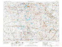
1958 · Watertown
USGS Topo · 1:250,000
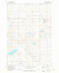
1973 · Bradley
USGS Topo · 1:24,000
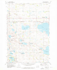
1973 · Wallace
USGS Topo · 1:24,000
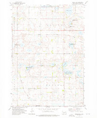
1973 · Heggs Lake
USGS Topo · 1:24,000
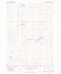
1973 · Garden City
USGS Topo · 1:24,000
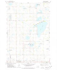
1973 · Henry
USGS Topo · 1:24,000
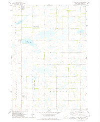
1973 · Clark South
USGS Topo · 1:24,000