
1947 Map of Garden Island Pass
USGS Topo · Published 1947About this map
Garden Island Pass serves as a primary artery through this coastal reach of Plaquemines Parish, where the Mississippi River delta fragment meets the open waters of the Gulf of Mexico. Surveyed in the mid-1930s and published shortly after the war, the map documents a fluid landscape of marsh and distributary channels. The presence of Old Balize Bayou suggests a historical connection to the earlier Balize settlement, reflecting the shifting nature of the river's mouth. Navigational passes such as Southeast Pass, Northeast Pass, and Cognevich Pass define the fragmented landmass, while interior waters like Redfish Bay and Garden Island Bay highlight the tidal environment. This 1947 advance sheet, compiled from aerial photography by the Air Corps and U. S. Army, provides a precise record of the shoreline and marsh boundaries before decades of coastal erosion further altered this bird's-foot delta geography.
Find a feature on this map
11 named features on this map. Tap any name to fly to it.
Don’t see what you’re looking for? This feature index may not catch every label — zoom into the map to look around manually.
Map Details
Editions of this 1947 Garden Island Pass Map
This is the sole edition of this map. No revisions or reprints were ever made.
Other maps of this area

1893 · East Delta
USGS Topo · 1:62,500

1935 · Garden Island Pass
USGS Topo · 1:31,680

1935 · South Pass
USGS Topo · 1:31,680

1947 · Pass A Loutre West
USGS Topo · 1:31,680

1947 · Pass A Loutre East
USGS Topo · 1:31,680
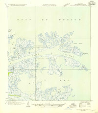
1954 · Pass A Loutre East
USGS Topo · 1:31,680
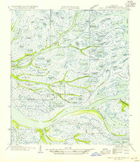
1954 · Pass A Loutre West
USGS Topo · 1:31,680
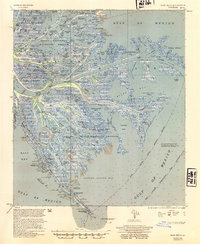
1954 · East Delta
USGS Topo · 1:62,500

1957 · Breton Sound
USGS Topo · 1:250,000
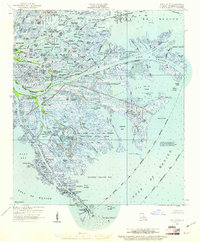
1958 · East Delta
USGS Topo · 1:62,500