
1947 Map of Pass A Loutre East
USGS Topo · Published 1947About this map
Pass A Loutre and its branching distributaries dominate this coastal survey of the Mississippi River Delta's eastern edge. The landscape is a complex network of marsh and open water, where North Pass and Southeast Pass funnel river sediment into the Gulf of Mexico. A significant historical marker is the Pass A Loutre L.H. (Discontinued), located near the intersection of the main pass and Lighthouse Bayou. This lighthouse, no longer in service by the time of this survey, once guided mariners through the shifting shoals of the Middle Ground. The presence of features like North Mud Lumps and Thomasin Lumps illustrates the active geological processes at the river's mouth, while named waterways such as Tommy Dantz Bayou and Willie's Bayou suggest a human history tied to fishing and navigation in these wetlands.
Find a feature on this map
27 named features on this map. Tap any name to fly to it.
Don’t see what you’re looking for? This feature index may not catch every label — zoom into the map to look around manually.
Map Details
Editions of this 1947 Pass A Loutre East Map
This is the sole edition of this map. No revisions or reprints were ever made.
Other maps of this area

1893 · East Delta
USGS Topo · 1:62,500

1935 · Garden Island Pass
USGS Topo · 1:31,680

1935 · South Pass
USGS Topo · 1:31,680

1947 · Garden Island Pass
USGS Topo · 1:31,680

1947 · Pass A Loutre West
USGS Topo · 1:31,680

1947 · Main Pass
USGS Topo · 1:31,680

1953 · Breton Island
USGS Topo · 1:62,500
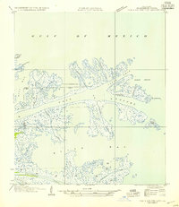
1954 · Pass A Loutre East
USGS Topo · 1:31,680
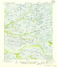
1954 · Pass A Loutre West
USGS Topo · 1:31,680
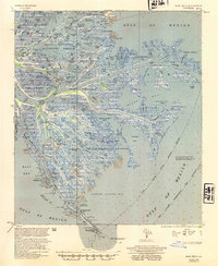
1954 · East Delta
USGS Topo · 1:62,500