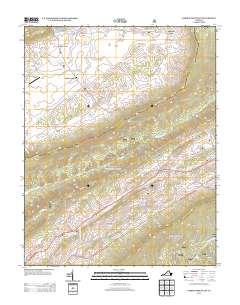
2013 Map of Garden Mountain
USGS Topo · Published 2013About this map
Burkes Garden forms a remarkable geological bowl in the Appalachian landscape, a high-altitude valley enclosed by the steep slopes of Garden Mountain. This 2013 survey details the dispersed rural settlements within this unique topographic feature, including Little Town and the community of Burkes Garden itself, alongside the small Burkes Garden Airport. To the south, the terrain falls away into the valley of the N Fork Holston River, where the historic crossroads of Ceres and Sharon Springs are situated. The map documents a landscape of numerous named springs and hollows, such as Station Spring, Blue Spring, and Alum Spring Hollow, reflecting the region's complex karst hydrology. Transport is defined by winding routes like Burkes Garden Rd and State Rte 623, which navigate the gaps between Banks Ridge and Big Ridge.
Find a feature on this map
58 named features on this map. Tap any name to fly to it.
Don’t see what you’re looking for? This feature index may not catch every label — zoom into the map to look around manually.
Map Details
Editions of this 2013 Garden Mountain Map
This is the sole edition of this map. No revisions or reprints were ever made.
Other maps of this area

1887 · Pocahontas
USGS Topo · 1:125,000

1889 · Wytheville
USGS Topo · 1:125,000

1891 · Pocahontas
USGS Topo · 1:125,000

1892 · Wytheville
USGS Topo · 1:125,000

1894 · Pocahontas
USGS Topo · 1:125,000

1895 · Pocahontas
USGS Topo · 1:125,000

1930 · Speedwell
USGS Topo · 1:62,500

1935 · Nebo
USGS Topo · 1:24,000
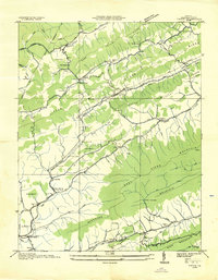
1935 · Tiptop
USGS Topo · 1:24,000
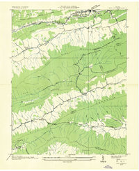
1935 · Nye Cove
USGS Topo · 1:24,000