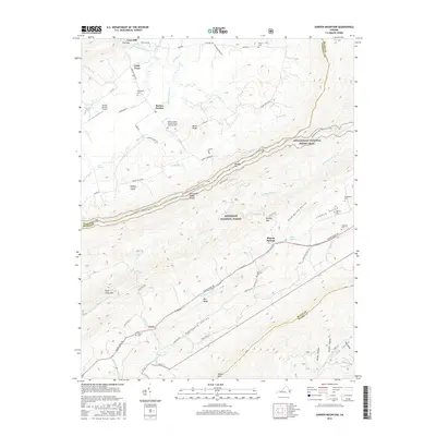
2016 Map of Garden Mountain
USGS Topo · Published 2016About this map
Burkes Garden occupies a unique circular valley in the Appalachian highlands, surrounded by a dramatic mountain rim that defines the local geography. This high-altitude basin, often referred to as God's Thumbprint, is home to a pastoral landscape of family farms and historical sites like the Burkes Garden Central Church-Lutheran Cem and Little Town. The Burkes Garden Airport and a network of gravel and paved routes, including Goss Mill Rd and Mapleton Rd, connect the basin's residents to the outside world through The Gap at the northern edge.
Find a feature on this map
75 named features on this map. Tap any name to fly to it.
Don’t see what you’re looking for? This feature index may not catch every label — zoom into the map to look around manually.
Map Details
Editions of this 2016 Garden Mountain Map
This is the sole edition of this map. No revisions or reprints were ever made.
Other maps of this area
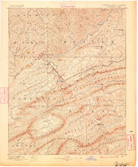
1887 · Pocahontas
USGS Topo · 1:125,000
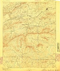
1889 · Wytheville
USGS Topo · 1:125,000
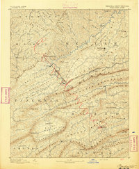
1891 · Pocahontas
USGS Topo · 1:125,000
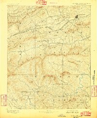
1892 · Wytheville
USGS Topo · 1:125,000
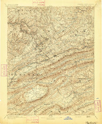
1894 · Pocahontas
USGS Topo · 1:125,000
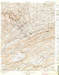
1895 · Pocahontas
USGS Topo · 1:125,000
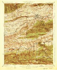
1930 · Speedwell
USGS Topo · 1:62,500
1935 · Nebo
USGS Topo · 1:24,000
1935 · Tiptop
USGS Topo · 1:24,000
1935 · Nye Cove
USGS Topo · 1:24,000